Digital polygon dataset of Hotels and Lodges of Sagarmatha National Park, Nepal. This dataset is created using Topographic sheet data at scale of 25,000/50,000, of 1995 acquired from National Geograp..
Digital point data of Campsite Location of Sagarmatha National Park, Nepal. This dataset is created using Topographic sheet data at scale of 25,000/50,000, of 1995 acquired from National Geographic I..
Digital point data of Airport Location of Sagarmatha National Park, Nepal. This dataset is created using Topographic sheet data at scale of 25,000/50,000, of 1995 acquired from National Geographic In..
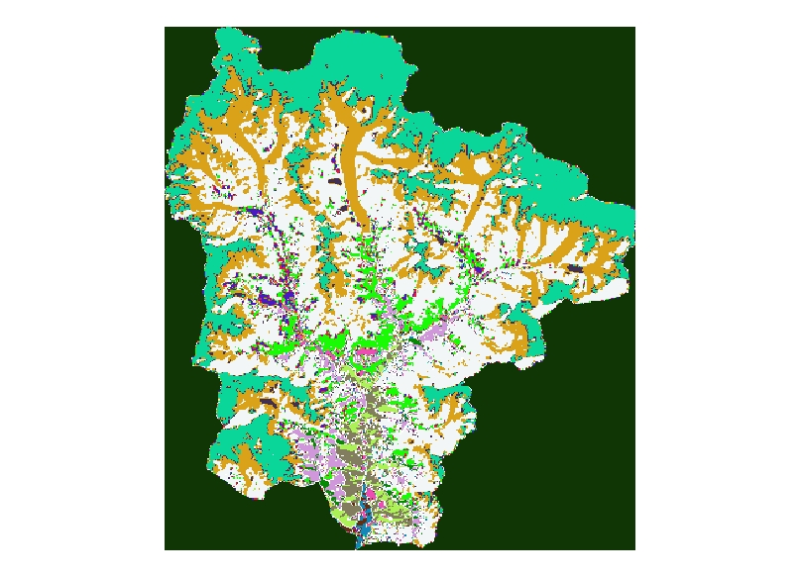
Digital polygon dataset of Land use of Sagarmatha National Park, Nepal. This dataset is created using Land use map created by Land Resources Mapping Project (LRMP) 1986.
Digital polygon dataset of Ecological zones of Sagarmatha National Park, Nepal. This dataset is created using Ecological map of Nepal prepared by Dobremez, 1988. The data was prepared for the HKKH Pa..
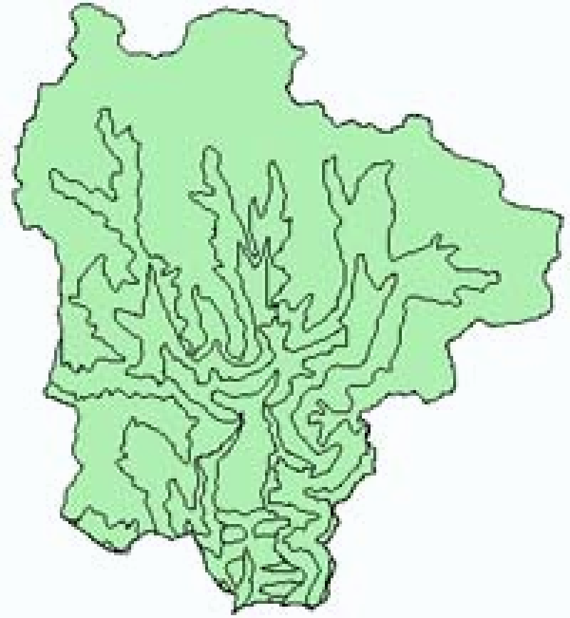
Digital polygon dataset of Ward Boundaries of VDCs of Sagarmatha National Park, Nepal. This dataset is created using Topographic sheet data at scale of 25,000/50,000, of 1995 acquired from National G..
Digital polygon dataset of Village Development Committee, VDC Boundaries of Sagarmatha National Park, Nepal. This dataset is created using Topographic sheet data at scale of 25,000/50,000, of 1995 ac..
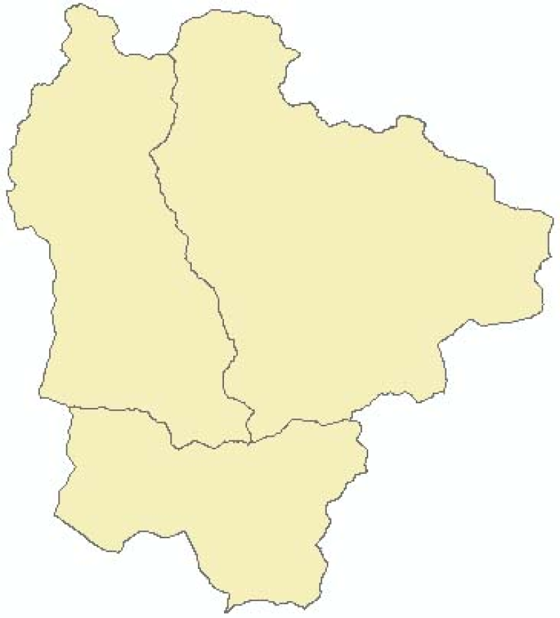
Digital polygon dataset of National Park and Buffer zone Boundary of Sagarmatha National Park, Nepal. This dataset is created using Topographical sheet data at scale of 25,000/50,000, of 1995 acquire..