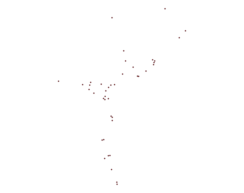
Digital point data of Mountain Peaks Location of Sagarmatha National Park, Nepal. This dataset is created using Topographic sheet data at scale of 25,000/50,000, of 1995 acquired from National Geogra..
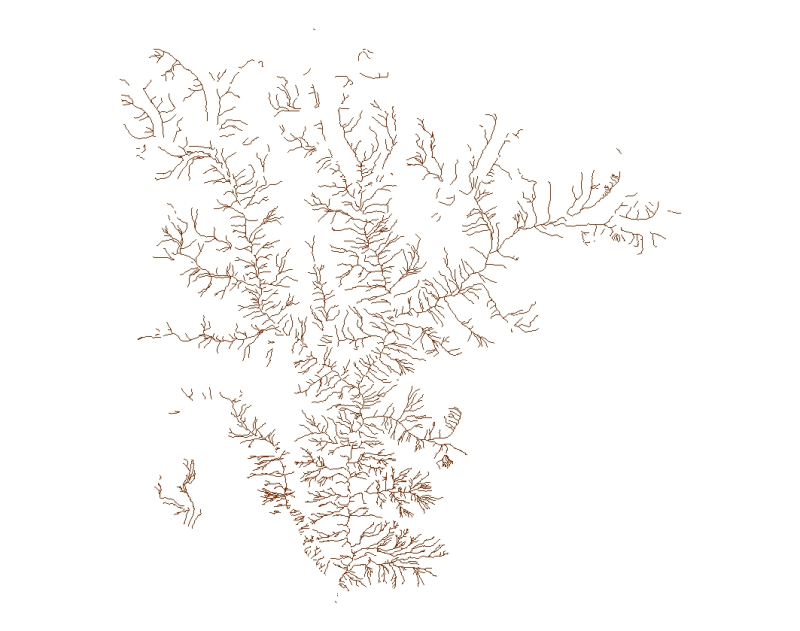
Digital line data of River Network of Sagarmatha National Park, Nepal. This dataset is created using Topographic sheet data at scale of 25,000/50,000, of 1995 acquired from National Geographic Inform..
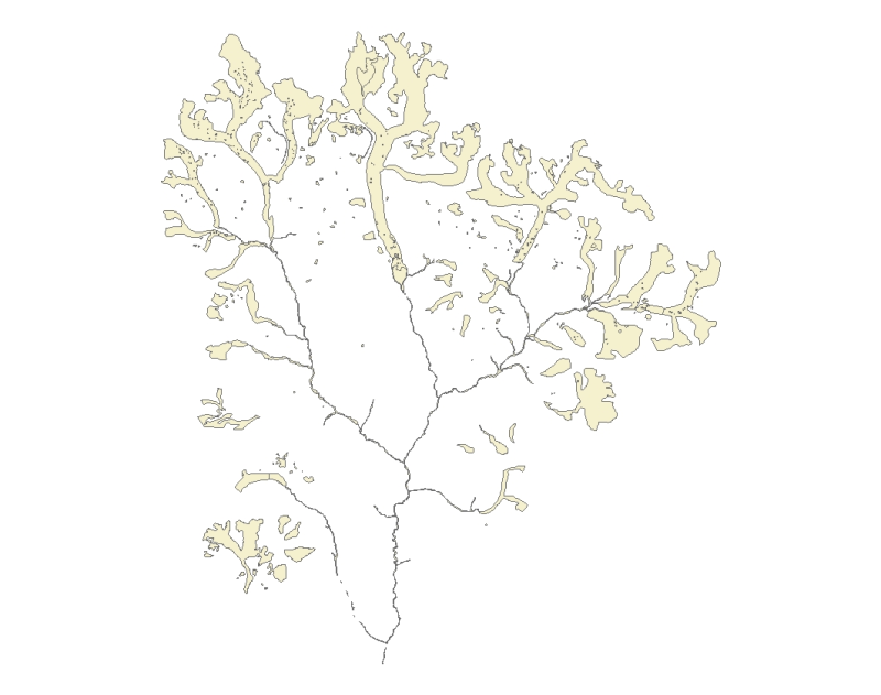
Digital polygon dataset of Water bodies (river, pond, lake, glaciers etc.) of Sagarmatha National Park, Nepal. This dataset is created using Topographic sheet data at scale of 25,000/50,000, of 1995 ..
Digital polygon dataset of Glacial Lakes of Sagarmatha National Park, SNP Nepal. This dataset is extracted from inventory of glaciers and glacial lakes prepared by ICIMOD, 2002.
Digital polygon dataset of Glaciers in Sagarmatha National Park, SNP area. This dataset is extracted from inventory of glaciers and glacial lakes prepared by ICIMOD, 2002.
Digital point data of Settlements Location of Sagarmatha National Park, Nepal. This dataset is created using Topographic sheet data at scale of 25,000/50,000, of 1995 acquired from National Geographi..
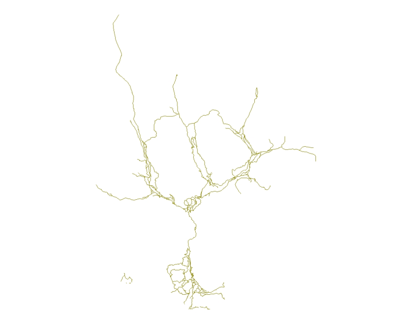
Digital line data of Major foot trails of Sagarmatha National Park, Nepal. This dataset is created using Topographic sheet data at scale of 25,000/50,000, of 1995 acquired from National Geographic In..
Digital point data of Religious Sites location of Sagarmatha National Park, Nepal. This dataset is created using Topographic sheet data at scale of 25,000/50,000, of 1995 acquired from National Geogr..
Digital point data of Education institutions location of Sagarmatha National Park, Nepal. This dataset is created using Topographic sheet data at scale of 25,000/50,000, of 1995 acquired from Nationa..
Digital point data of Public Services location of Sagarmatha National Park, Nepal. This dataset is created using Topographic sheet data at scale of 25,000/50,000, of 1995 acquired from National Geogr..