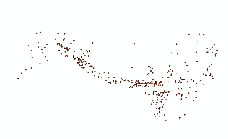
Digital point dataset of location of major cities of Hindu Kush Himalayan (HKH) Region. This dataset is basic vector layer derived from ESRI Map & Data in 2001.
Digital point dataset of Geographic names (Gazetteer) of Major places and sites of Hindu Kush Himalayan (HKH) Region. This dataset is Basic Vector layer derived from ESRI Map & Data 2001.
Digital point dataset of location of Airports of Hindu Kush Himalayan (HKH) Region. This dataset is basic vector layer derived from ESRI Map & Data in 2001.
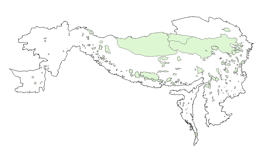
Digital polygon dataset of Ecological Regions of Hindu Kush Himalayan (HKH) Region. This dataset is basic Vector layer acquired from ESRI Data and Maps, 2001.
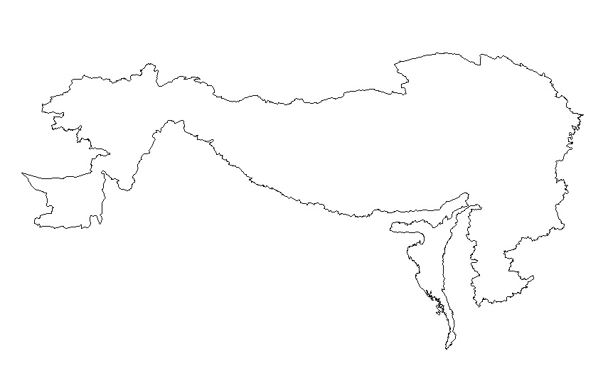
Digital line dataset of outline boundary of Hindu Kush Himalayan (HKH) Region. This dataset is Basic Vector layer derived from ESRI Map & Data 2001 and is in 1:1 million scale.