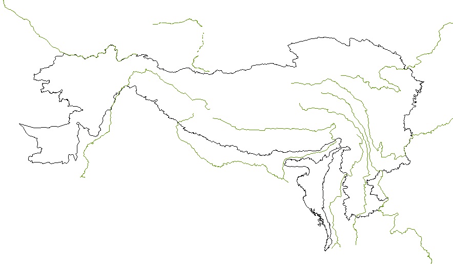
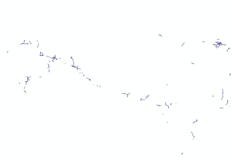
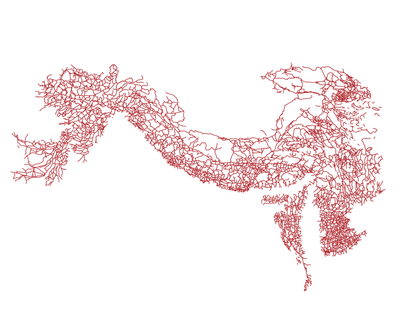
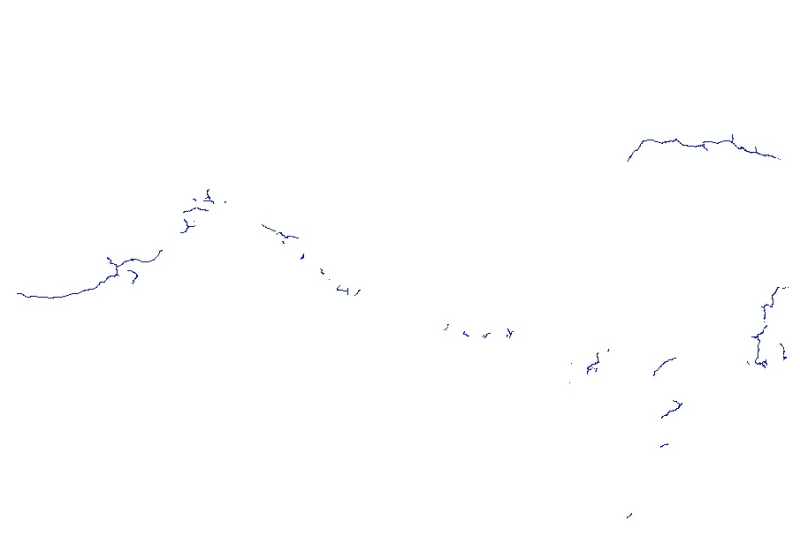
Digital line dataset of Major River systems of Hindu Kush Himalayan (HKH) Region. This dataset is Basic Vector layer derived from ESRI Map & Data 2001.
Digital polygon dataset of Perennial Rivers and lakes of Hindu Kush Himalayan (HKH) Region. This dataset is basic vector layer derived from ESRI Map & Data in 2001.
Digital polyline dataset of Major River systems of Hindu Kush Himalayan (HKH) Region. This dataset is Basic Vector layer derived from ESRI Map & Data 2001.
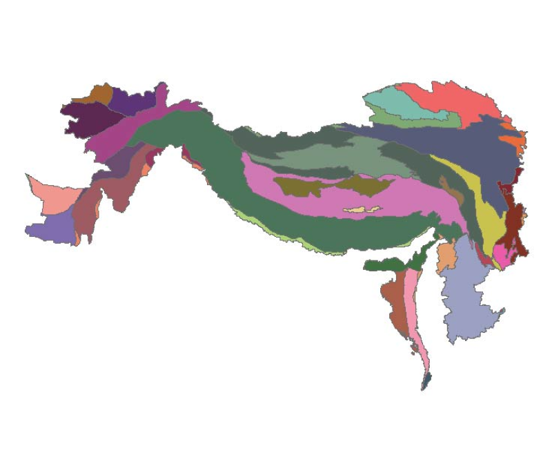
Digital polygon dataset of Divisions of Geological Time Scale of Hindu Kush Himalayan (HKH) Region. This dataset is basic Vector layer acquired from USGS in 1999.
Digital line dataset of Utilities (Power Line, underground pipeline and above ground Pipeline) of Hindu Kush Himalayan (HKH) Region. This dataset is Basic Vector layer derived from ESRI Map & Data 20..
Digital line dataset of Railroad Network of Hindu Kush Himalayan (HKH) Region. This dataset is Basic Vector layer derived from from ESRI Map & Data 2001.
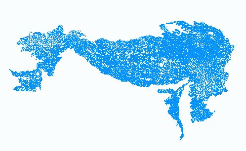
Digital point data of location of Settlements of Hindu Kush Himalayan (HKH) Region. This dataset is basic vector layer derived from ESRI Map & Data in 2001.