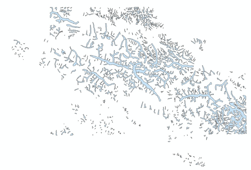
Digital polygon dataset of Water bodies of Central Karakoram National Park(CKNP) area, Pakistan. This dataset is created using topographic sheet maps at scale of 20000.
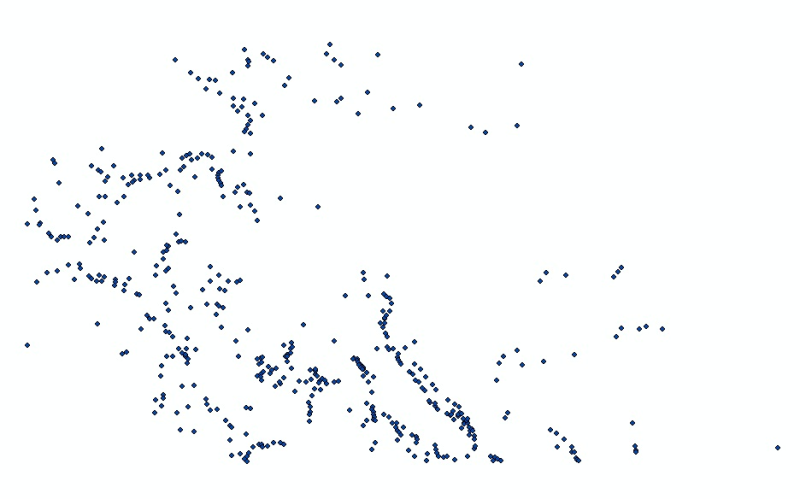
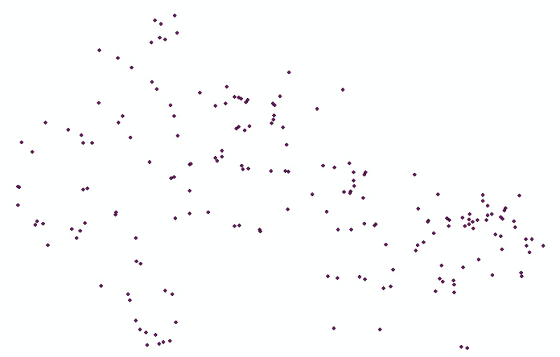
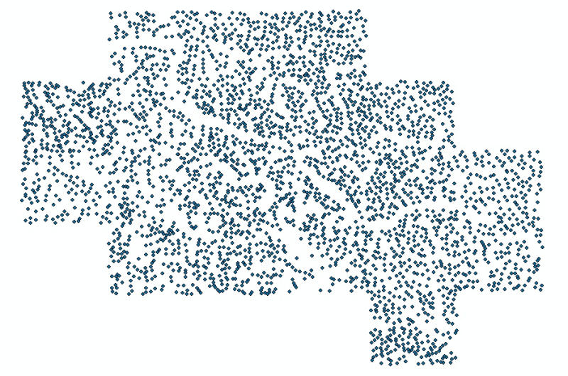
Digital point dataset of Settlement locations of Central Karakoram National Park (CKNP) area, Pakistan. This dataset is created using topographic sheet maps at scale of 20000.
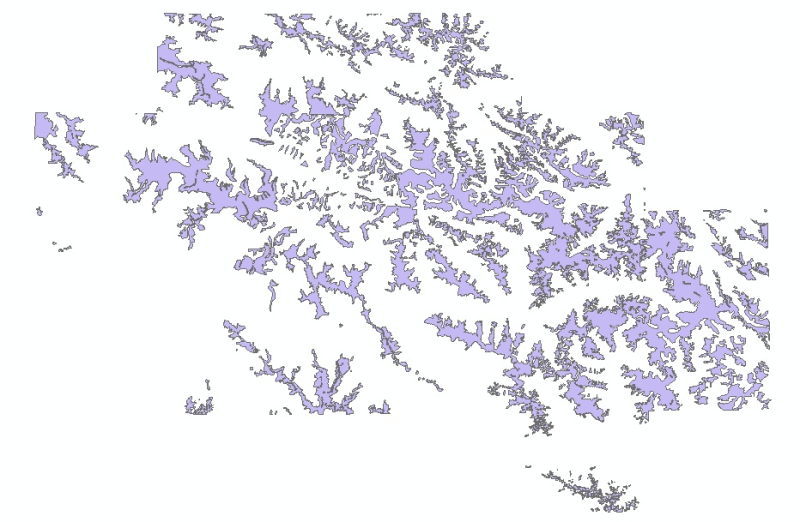
Digital polygon data of Glaciers of Central Karakoram National Park(CKNP) area, Pakistan. This dataset is created using topographic sheet maps at scale of 20000.
Digital polygon dataset of Glacier exposed rocks of Central Karakoram National Park (CKNP) area, Pakistan. This dataset is created using topographic sheet maps at scale of 20000.
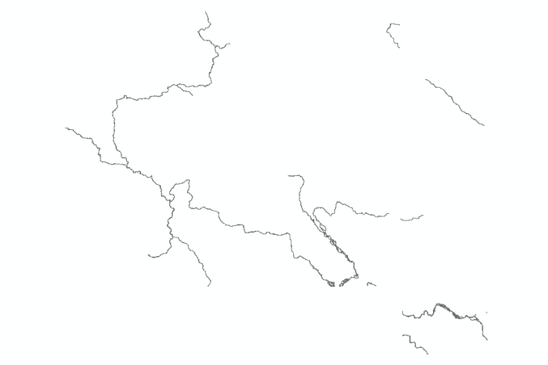
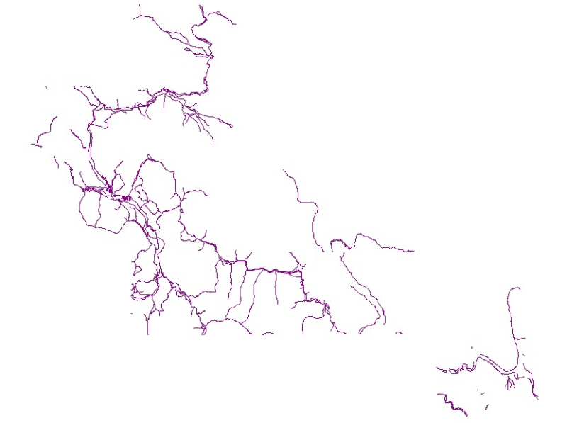
Digital line dataset of Major Streams of Central Karakoram National Park (CKNP) area, Pakistan. This dataset is created using topographic sheet maps at scale of 20000.
Digital point dataset of Mountain peak locations of Central Karakoram National Park (CKNP) area, Pakistan. This dataset is created using topographic sheet maps at scale of 20000.
Digital line dataset of River network of Central Karakoram National Park (CKNP) area, Pakistan. This dataset is created using topographic sheet maps at scale of 20000.
Digital polygon dataset of Snow cover area of Central Karakoram National Park (CKNP) area, Pakistan. This dataset is created using topographic sheet maps at scale of 20000 and verified using satellit..
Digital point dataset of spot height (elevation) locations of Central Karakoram National Park (CKNP) area, Pakistan. This dataset is created using topographic sheet maps at scale of 20000.
Digital line dataset of Road network of Central Karakoram National Park(CKNP) area, Pakistan. This dataset is created from topographic sheet maps at scale of 20000 and verified using DEM.