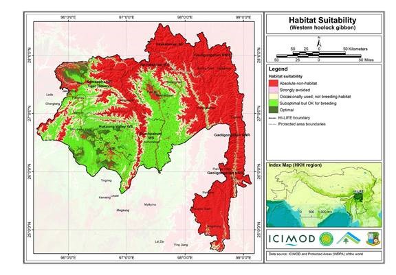
The Hindu Kush Himalayan region (HKH) is an important biodiversity hotspot with more than 488 protected areas covering 39% of the region's geographical coverage. A majority of the protected areas are..
This is a list of seed plants (angiosperms and gymnoperms) recorded from the Kangchenjunga Corridor on the Nepal side of Khangchendzonga Biosphere Reserve.
This checklist of bird diversity in the Far Eastern Himalayan Landscape (which covers parts of China, India, and Myanmar) contains a total of 908 species extracted from the literature on the landscap..
Digital polygon data of Land system of Nepal. The dataset includes details of land forms, soil type, drainage conditions etc. This dataset is created using Land System Map, published by Land Resource..
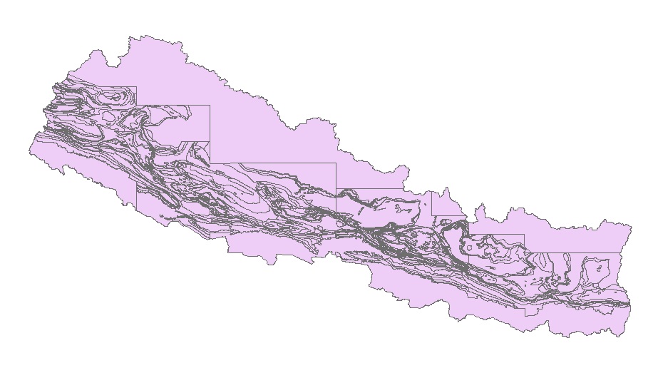
Digital polygon data of Geology of Nepal. This dataset is created using geological Map of 1,000,000 scale published by Department of Mines and Geology in 1994.
Digital data of Land use of Nepal. This dataset is created using Land use Maps of 50000 scale published by Land Resource Mapping Project (LRMP), Dept. of Survey Kathmandu, Nepal in 1984.
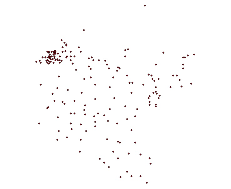
Digital point dataset of location of Meteorological Stations of Koshi Basin. The dataset is created based on data from Department of Hydrology & Meteorology, Nepal.
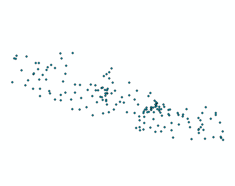
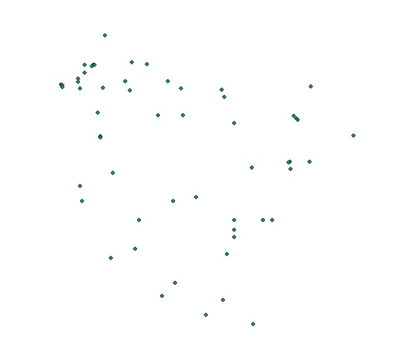
Digital point dataset of location of Hydrological Stations of Koshi Basin. The dataset is created based on data from Department of Hydrology & Meteorology, Nepal.
This occurrence database contains records of the lichens based on the herbarium specimens deposited at the Natural History Museum (NHM), Tribhuvan University Nepal. Situated on the lap of a world her..