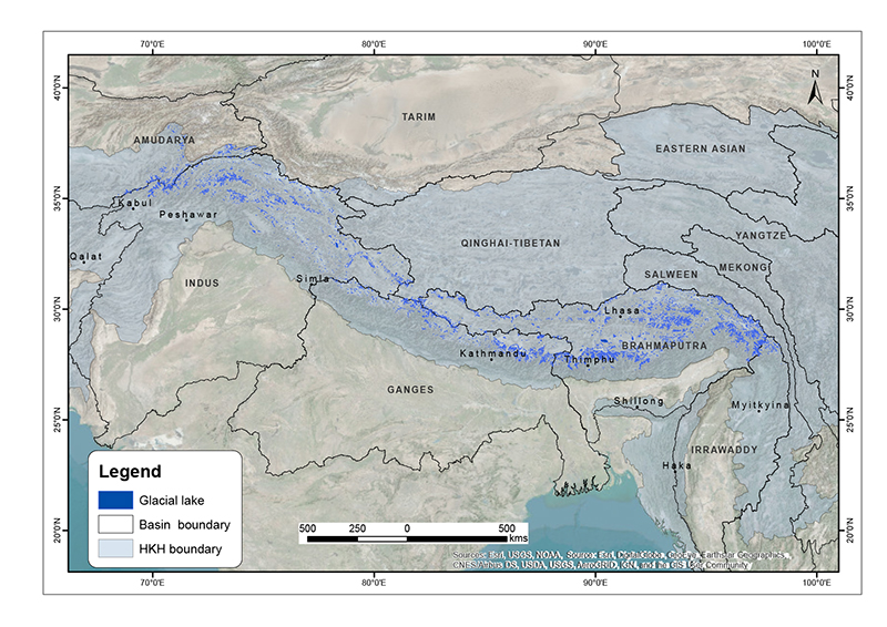
The comprehensive baseline information on the glacial lakes of the Hindu Kush Himalaya was generated semi-automatically using more than 200 Landsat 5 TM and Landsat 7 ETM+ images of 2005 ± 2 years wi..
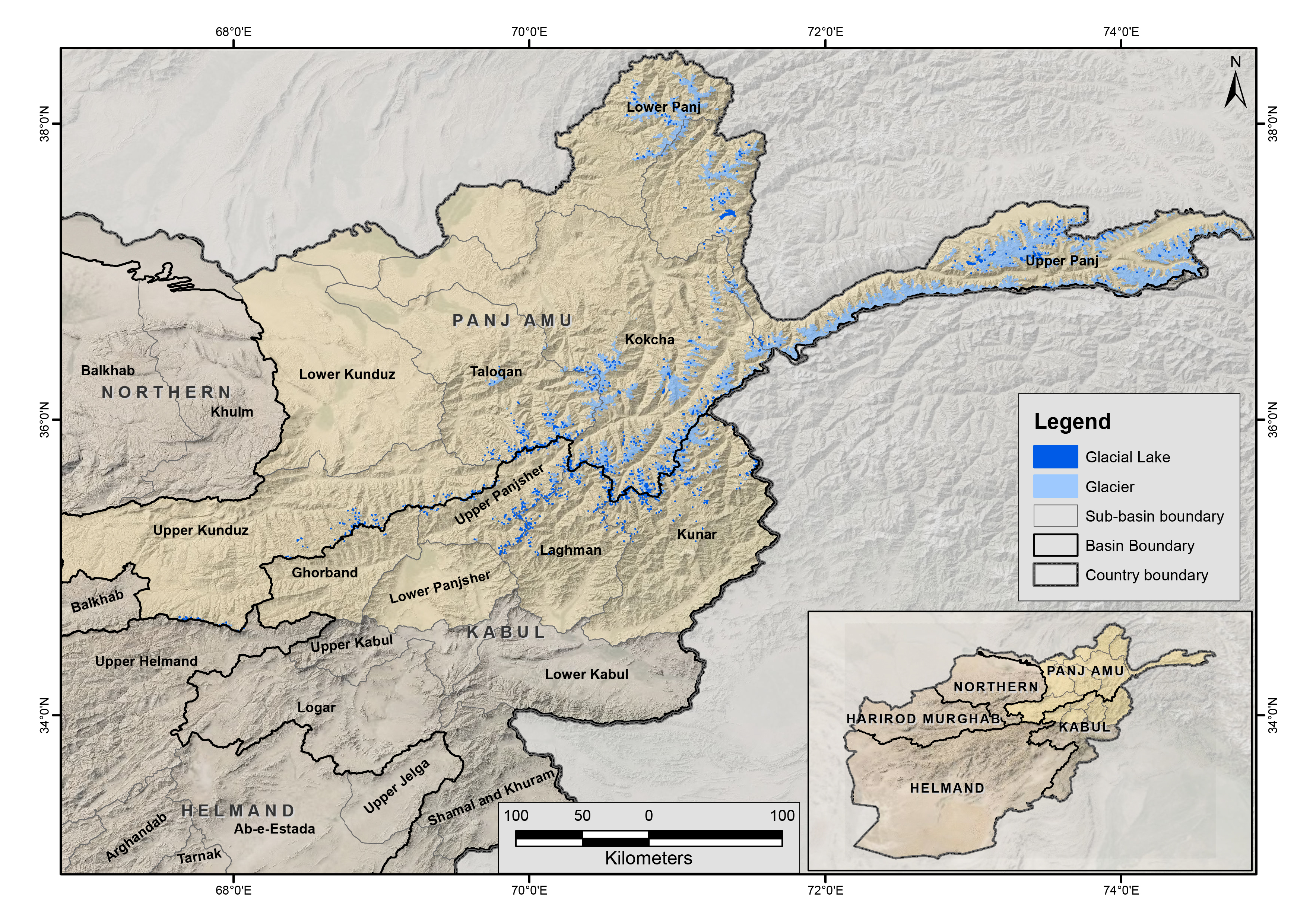
The glacial lakes of Afghanistan were mapped using Landsat image that were selected based in a one-year buffer surrounding a representative year. For instance, the Landsat images from 1999 to 2001 we..
It provides a list of faunal species mainly Butterfly, Birds, Herptefauna and Mammals that were recorded in Kaminidaha plot within Parsa National Park, Nepal
It provides a list of faunal species mainly Butterfly, Birds, Herptefauna and Mammals that were recorded in Halkhoriya plot within Parsa National Park, Nepal
This is the inventory of glacial lakes in the Nepal Himalaya. The inventory is prepared using Landsat satellite images of 2005/2006 and gives the distribution of glacial lakes at the sub-basin level...
Digital data of Disaster events locations of Nepal at District level. This dataset is created using disaster event and associated data provided by Ministry of Home affairs, Nepal.
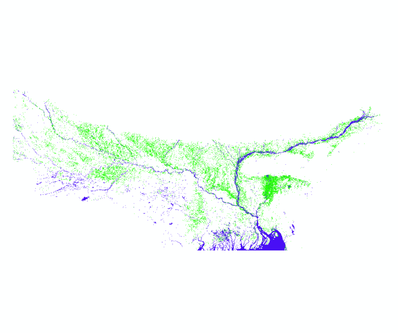
The data proivdes flood extent in July 2020 covering areas of Nepal, India and Bangladesh. The data has been developed as part of rapid flood inundaton mapping activity to support quick and effective..
It provides a list of faunal species mainly Butterfly, Birds, Herptefauna and Mammals that were recorded in Bhata plot within Parsa National Park, Nepal
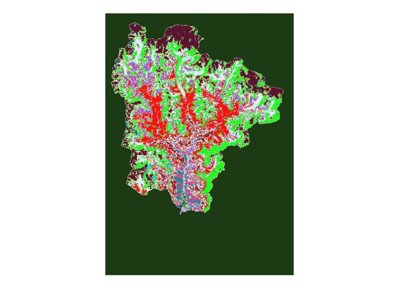
Digital dataset of Land cover of 1992 of Sagarmatha National Park, Nepal. This dataset is created using Landsat TM satellite image of 1992, September 22.