As part of climate change impact monitoring program on biodiversity, UWICER has initiated HEROES program in 2015. 17 schools covering different altitudinal gradient and geographic region were selecte..
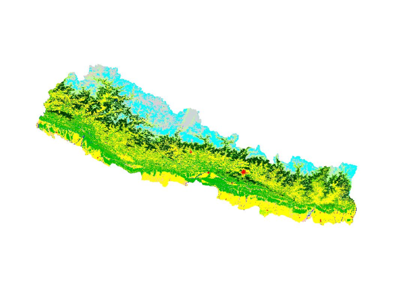
Land cover and its change analysis across the Hindu Kush Himalayan (HKH) region is realized as an urgent need to support diverse issues of environmental conservation. This study presents the first an..
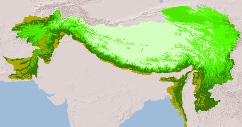
Digital raster dataset of Mountain regions of Hindu Kush Himalayan (HKH) Region. This dataset is prepared based on GTOPO 1km resolution DEM showing different classes of mountains in HKH region.
Digital polygon data of Watershed boundary of Ludhi Khola Watershed, Gorkha, Nepal.This dataset is created using Topographic sheet data at scale of 25,000/50,000, of 1995 acquired from National Geogr..
Digital polygon dataset of Community Forest Boundary of Ludhi Khola Watershed, Gorkha, Nepal. This dataset is created using GeoEye 0.5 meter spatial resolution satellite image of November 2009 and fi..
Digital polygon data of Watershed Boundary of Kayar Khola Watershed, Chitwan, Nepal. This dataset is created using Topographic sheet data at scale of 25,000/50,000, of 1995 acquired from National Geo..
Digital polygon dataset of Community Forest area Boundary of Kayar Khola Watershed, Chitwan, Nepal. This dataset is created using GeoEye 0.5 meter spatial resolution satellite image of November 2009 ..
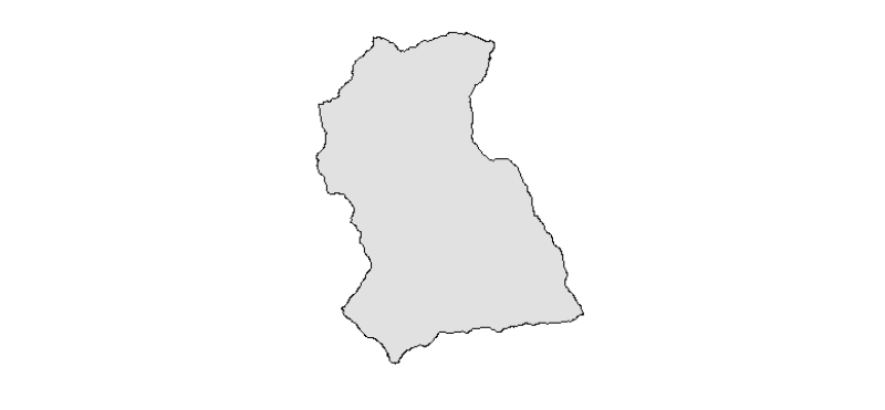
Digital polygon dataset of Watershed Boundaries of Charnawati River Watershed, Dolakha, Nepal. This dataset is created using Topographic sheet data at scale of 25,000/50,000, of 1995 acquired from Na..
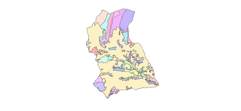
Digital polygon dataset of Community Forest area Boundary of Charnawati Watershed, Dolakha, Nepal. This dataset iscreated using GeoEye 0.5 meter spatial resolution satellite image of November 2009 an..
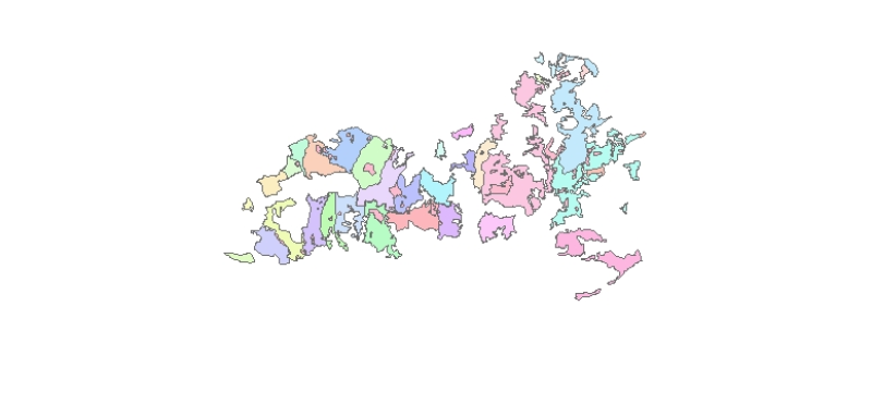
The dataset provides first level river basin boundaries of ten major river basins in the Hindu Kush Himalaya (HKH) region – the Amu Darya, Brahmaputra (Yarlungtsanpo), Ganges, Indus, Irrawaddy, Mekon..