The past few decades have seen high levels of deforestation and forest degradation in the Hindu Kush Himalayan (HKH) region. In this context, under SERVIR Himalaya programme, ICIMOD has developed for..
The past few decades have seen high levels of deforestation and forest degradation in the Hindu Kush Himalayan (HKH) region. In this context, under SERVIR Himalaya programme, ICIMOD has developed for..
The past few decades have seen high levels of deforestation and forest degradation in the Hindu Kush Himalayan (HKH) region. In this context, under SERVIR Himalaya programme, ICIMOD has developed for..
Digital polygon data of Glaciers of Nepal in 2010. This dataset is created using Landsat TM, ETM+ imageries of 2010. The glacier outlines was derived semi-automatically using object-based image class..
Digital polygon data of Glaciers of Bhutan in 2000. This dataset is created using Landsat TM and ETM+, imageries of 2000. The glacier outlines was derived semi-automatically using object-based image ..
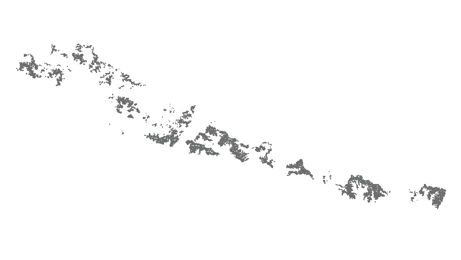
Digital polygon data of Glaciers of Bhutan in 1980. This dataset is created using Landsat MSS imageries of 1980. The glacier outlines was derived semi-automatically using object-based image classific..
As part of climate change impact monitoring program on biodiversity, Ugyen Wangchuck Institute for Conservation and Environment Research (UWICER) has initiated HEROES program in 2015. 17 schools cove..
As part of climate change impact monitoring program on biodiversity, Ugyen Wangchuck Institute for Conservation and Environment Research (UWICER) has initiated HEROES program in 2015. 17 schools cove..
As part of climate change impact monitoring program on biodiversity, Ugyen Wangchuck Institute for Conservation and Environment Research (UWICER) has initiated HEROES program in 2015. 17 schools cove..
As part of climate change impact monitoring program on biodiversity, Ugyen Wangchuck Institute for Conservation and Environment Research (UWICER) has initiated HEROES program in 2015. 17 schools cove..