Digital Elevation Model, DEM of Sagarmatha National Park, Nepal. This dataset is DEM is created by interpolating contour and spot height using Topographic sheet data at scale of 25,000/50,000, of 199..
Digital Elevation Model (DEM) of Hindu Kush Himalayan (HKH) Region. This dataset is compiled from global SRTM DEM of 90 m resolution for HKH region and was prepared by ICIMOD.
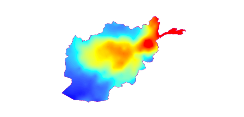
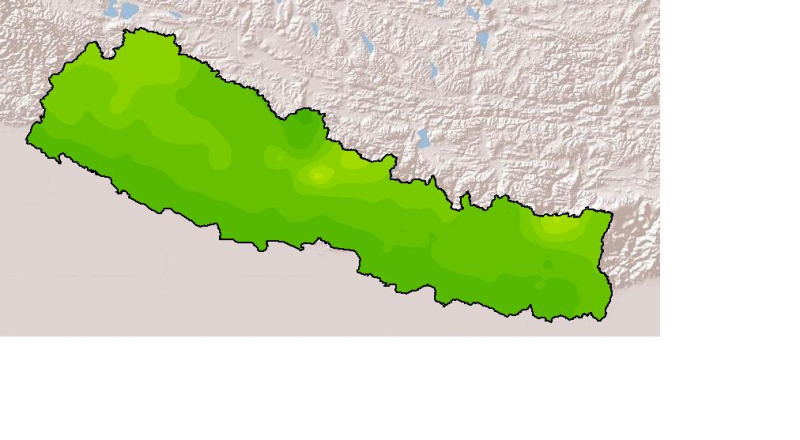
Monthly mean precipitation of December 2001 of Nepal. This dataset is created using actual averages precipitation using Win-surfer and GIS-arc/info software packages. The mean values were derived fro..
Monthly mean precipitation of March 2001 of Nepal. This dataset is created using actual averages precipitation using Win-surfer and GIS-arc/info software packages. The mean values were derived from d..
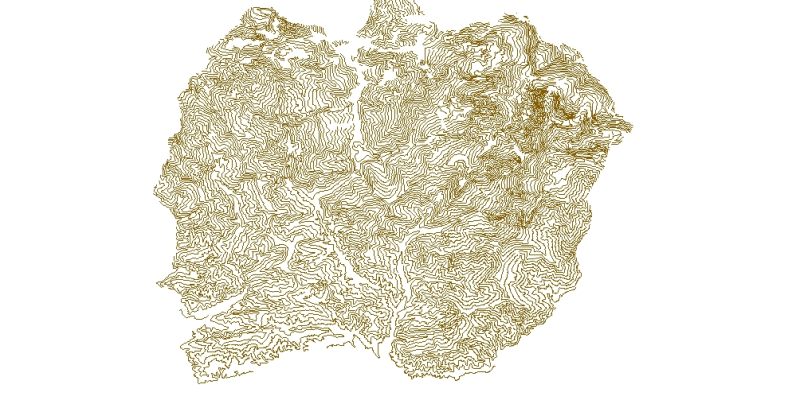
Digital line dataset of Elevation Contours of Lamjung district, Nepal. This dataset is created using Topographic sheet data at scale of 50,000 acquired from Department of Survey, Kathmandu, Nepal. Co..
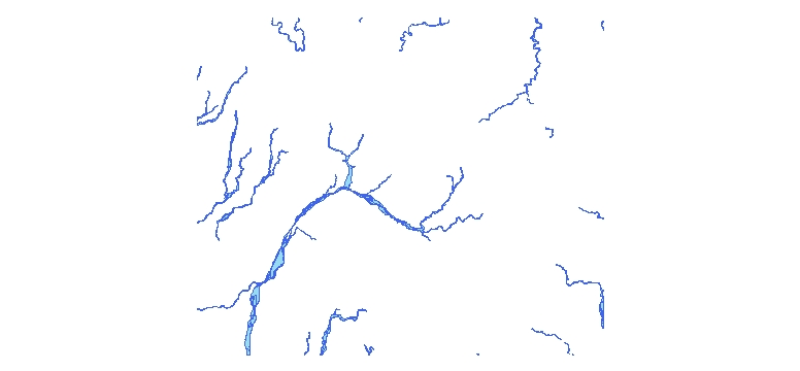
Digital line data of Water bodies of Kayar Khola Watershed, Chitwan, Nepal. This dataset is created using Topographic sheet data at scale of 25,000/50,000, of 1995 acquired from National Geographic I..
Digital point dataset of Area viewpoint locations of Central Karakoram National Park(CKNP) area, Pakistan. This dataset is compiled through GPS based field survey conducted in year 2008.