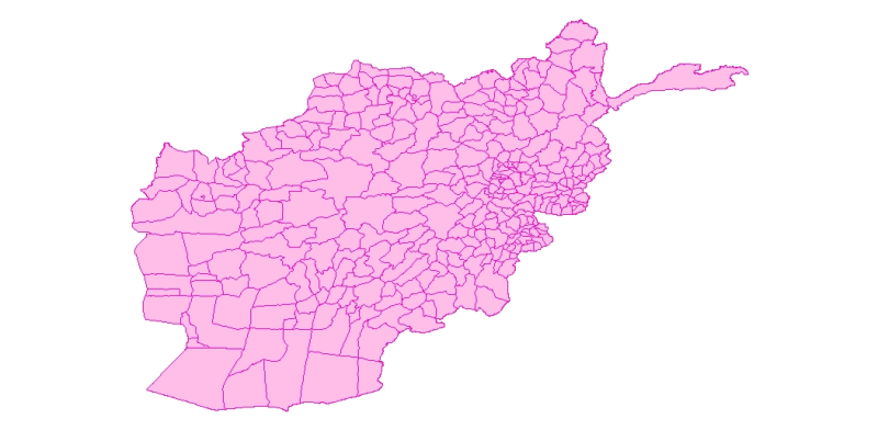
Digital polygon dataset of Total number of Students per District of Afghanistan. This dataset is basic Vector layer derived from Afghanistan Information Management Systems (AIMS), Afghanistan.
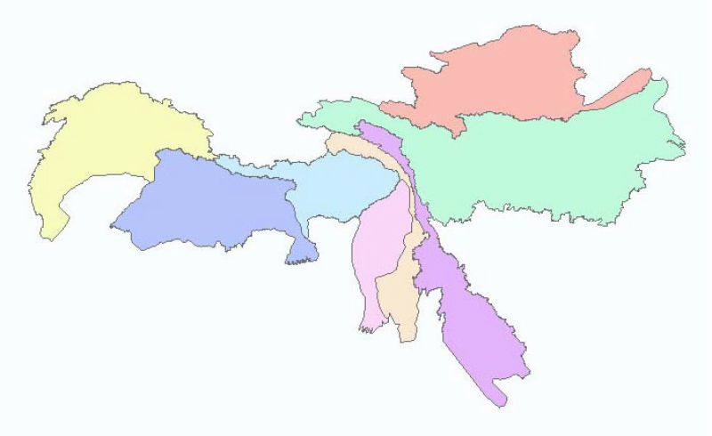
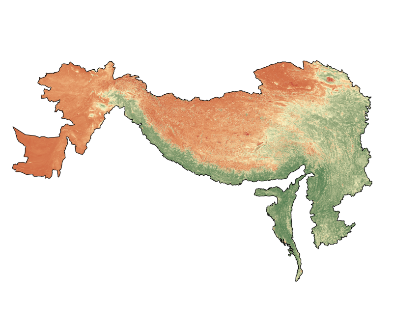
Digital polygon dataset of Administrative zone boundaries of Hindu Kush Himalayan (HKH) Region. This dataset is basic vector layer derived from ESRI Map & Data in 2001.
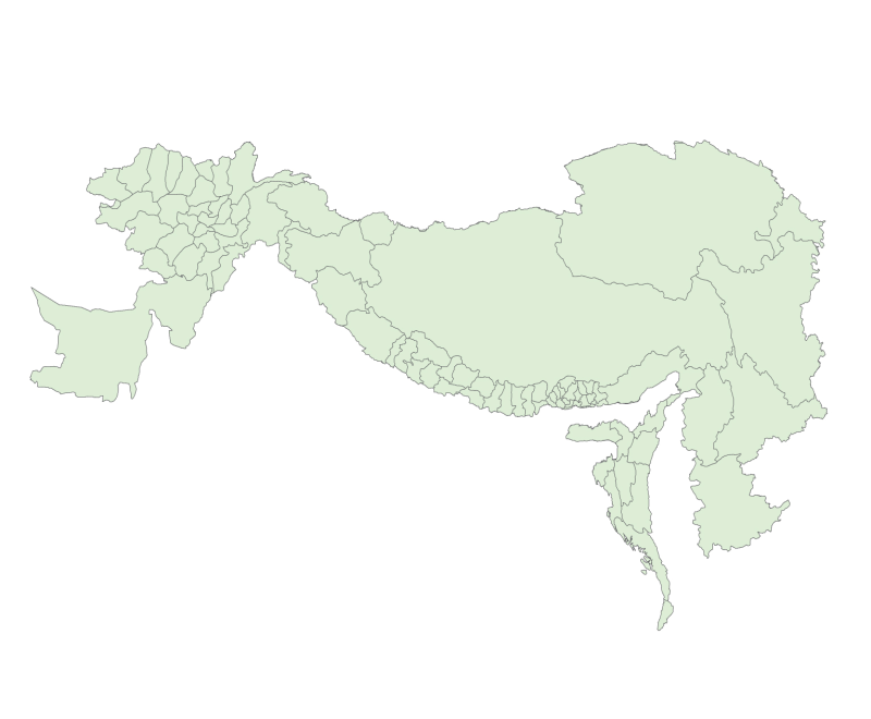
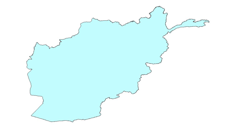
Digital polygon dataset of Country Boundary of Afghanistan. This dataset is created using 1:1,000,000 scale map of Afghanistan and derived from Afghanistan Information Management Systems (AIMS), Afgh..
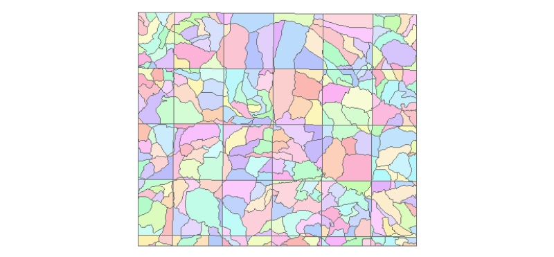
Digital polygon dataset of Village Development Committee, VDC Boundary of Lamjung district, Nepal. This dataset is created using Topographic sheet data at scale of 50,000acquired from Department of S..
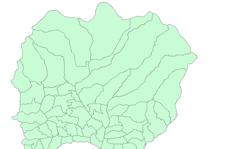
Digital polygon dataset of Ward Boundaries of Charnawati River Watershed, Dolakha, Nepal. This dataset is created using Topographic sheet data at scale of 25,000/50,000, of 1995 acquired from Nationa..
Digital point dataset of Hotels of Central Karakoram National Park(CKNP) area, Pakistan. This dataset is compiled through GPS based field survey conducted in year 2008.
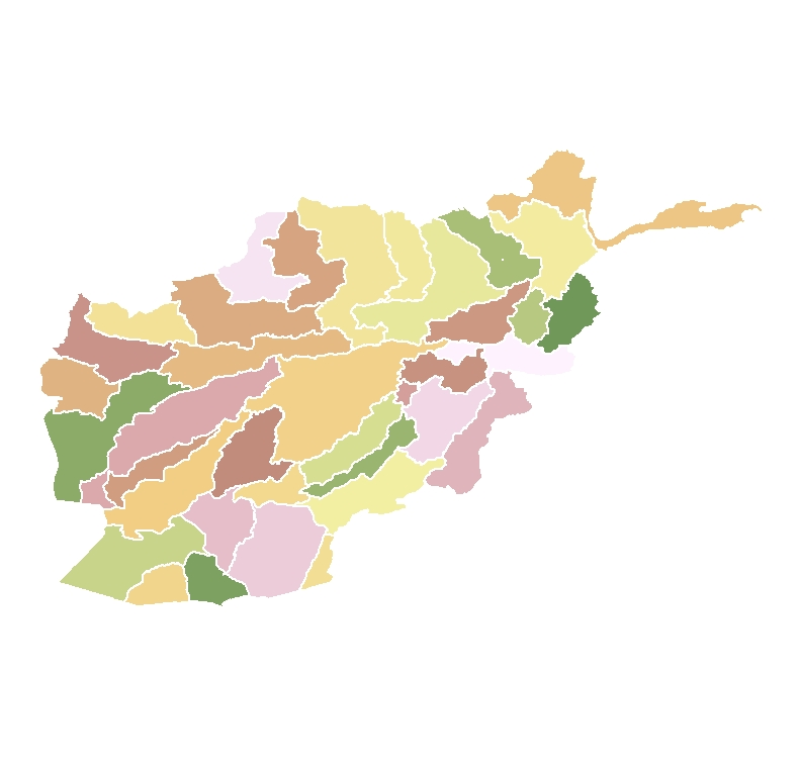
Digital polygon dataset of School density per District of Afghanistan. This dataset is basic Vector layer derived from Afghanistan Information Management Systems (AIMS), Afghanistan.