Digital point dataset of Location Protected Areas of Afghanistan. This dataset is created using 1:1,000,000 scale map of Afghanistan and derived from Afghanistan Information Management Systems (AIM..
The dataset showing support practice factor of Koshi basin. It represents the soil conservation operations or other measures that control the erosion. It is measured as the ratio of soil loss with a ..
Digital polygon dataset of Geographic regions of Hindu Kush Himalayan (HKH) Region. This dataset is basic vector layer derived from ESRI Map & Data in 2001.
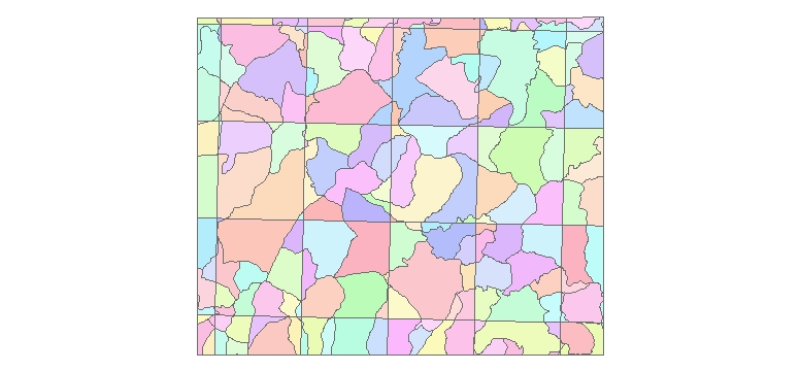
Digital polygon data of Ward Boundary of Kayar Khola Watershed, Chitwan, Nepal. This dataset is created using Topographic sheet data at scale of 25,000/50,000, of 1995 acquired from National Geograph..
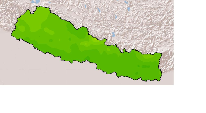
Monthly mean precipitation of September 2001 of Nepal. This dataset is created using actual averages precipitation using Win-surfer and GIS-arc/info software packages. The mean values were derived fr..
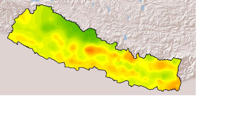
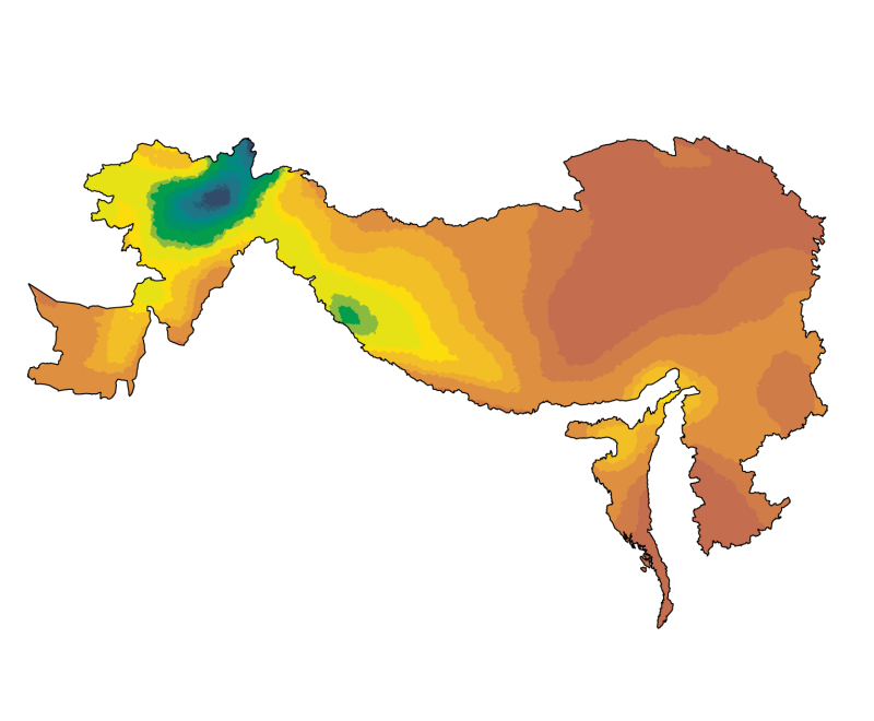
Monthly mean precipitation of February 2001 of Nepal. This dataset is created using actual averages precipitation using Win-surfer and GIS-arc/info software packages. The mean values were derived fro..
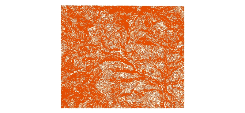
Digital line dataset of Elevation Contours of Charnawati River Watershed, Dolakha, Nepal. This dataset is created using Topographic sheet data at scale of 25,000/50,000, of 1995 acquired from Nationa..
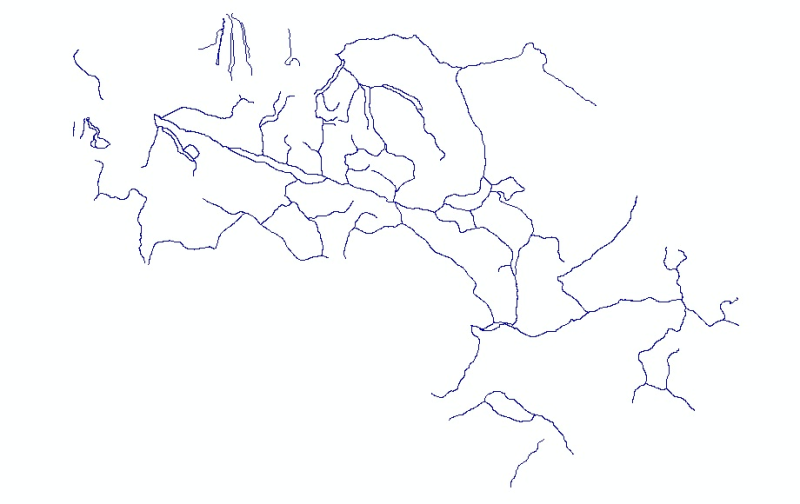
Digital line dataset of Mountaineering Treks of Central Karakoram National Park (CKNP) area, Pakistan. The dataset shows trekking route in the Karakoram and Hindukush mountain region as identified ..