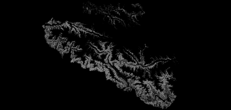
Digital grid data of Hillshade of Charnawati River Watershed, Dolakha, Nepal. This dataset is created using
Topographic sheet data at scale of 25,000/50,000, of 1995 acquired from National Geographi..
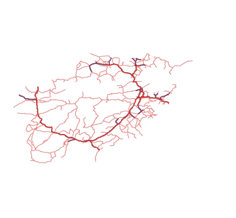
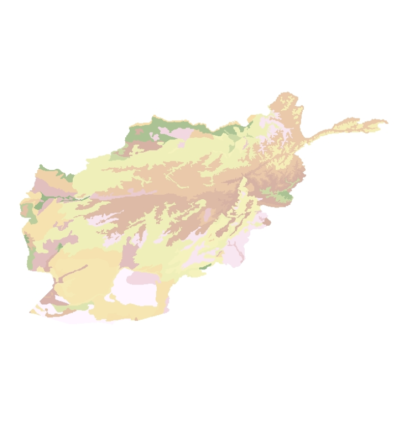
Digital line dataset of Road network of Afghanistan. This dataset is derived from Afghanistan Information Management Systems (AIMS), Afghanistan and ESRI Data and Maps 2001.
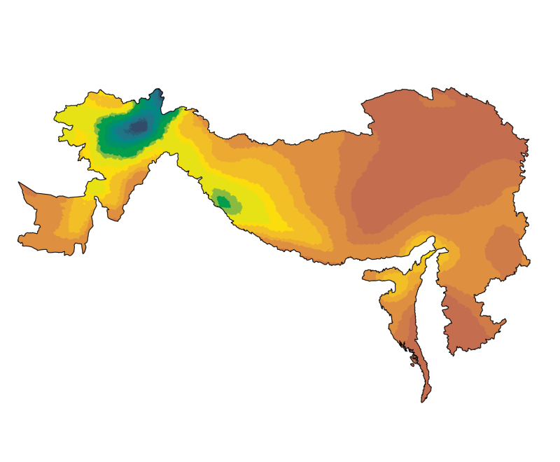
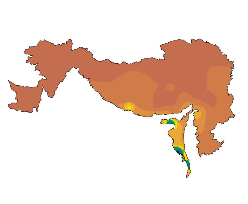
Digital dataset of Himalayan Ibex habitat area of Central Karakoram National Park (CKNP) area, Pakistan. This dataset is compiled through GPS based field survey conducted in year 2008 based on baseli..
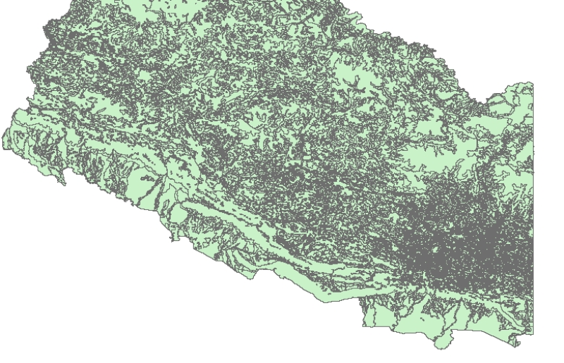
Digital point data of Spot height locations of Kayar Khola Watershed, Chitwan, Nepal. This dataset is created using Topographic sheet data at scale of 25,000/50,000, of 1995 acquired from National Ge..
Digital polygon data of Glaciers, Glacial Lakes and Potential Glacial Lake Outburst Floods (GLOFs) locations of Nepal. This dataset is created using satellite images (Landsat, TM, ETM+ imageries) of ..
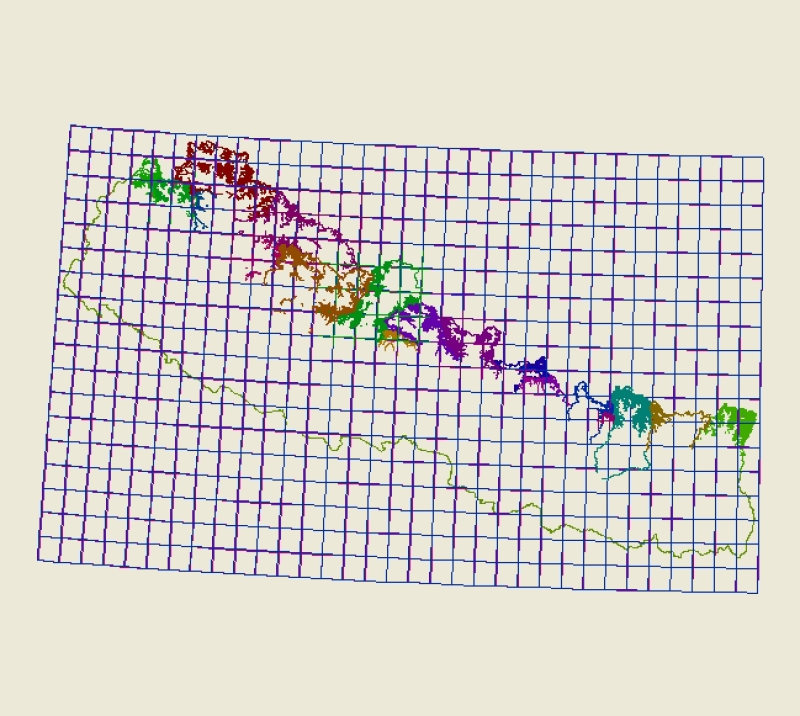
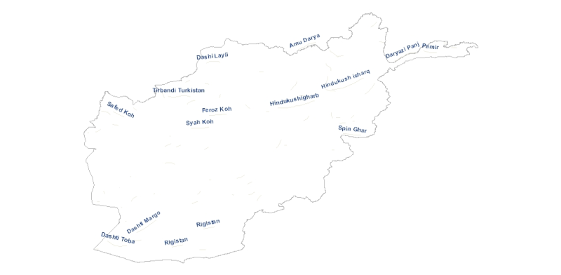
Annotation of River names of of Afghanistan. This dataset is basic Vector layer derived from Afghanistan Information Management Systems (AIMS), Afghanistan.