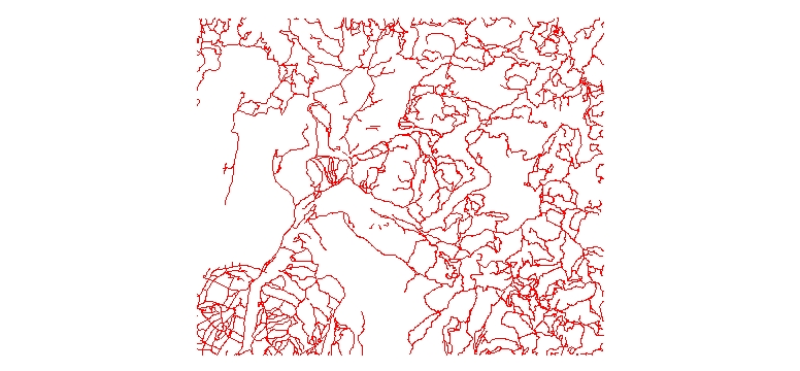
Digital line data of Road Network of Kayar Khola Watershed, Chitwan, Nepal. This dataset is created using Topographic sheet data at scale of 25,000/50,000, of 1995 acquired from National Geographic I..
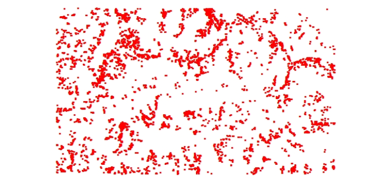
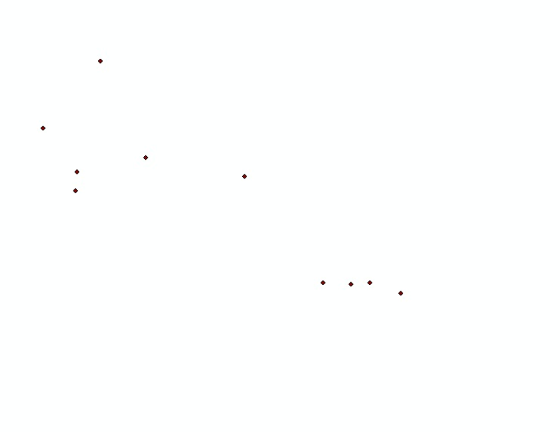
Digital point dataset of Building Footprints of Ludhi khola Watershed, Gorkha, Nepal. This dataset is created using Topographic sheet data at scale of 25,000/50,000, of 1995 acquired from National Ge..
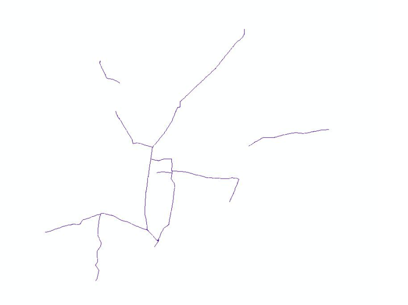
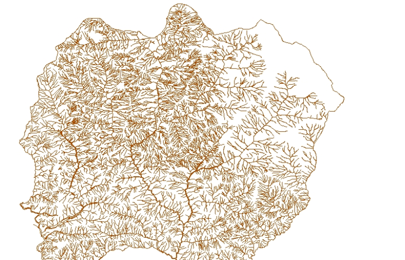
Digital line dataset of River Network of Lamjung district, Nepal. This dataset is created using Topographic sheet data at scale of 50,000 acquired from Department of Survey, Kathmandu, Nepal.
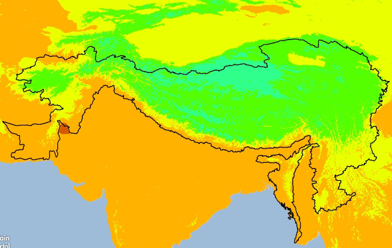
Digital grid dataset of minimum monthly temperature (July) for the period of 1950-2000 of Hindu Kush Himalayan (HKH) Region. The dataset is derived from WorldClim (http://www.worldclim.org/), and maj..
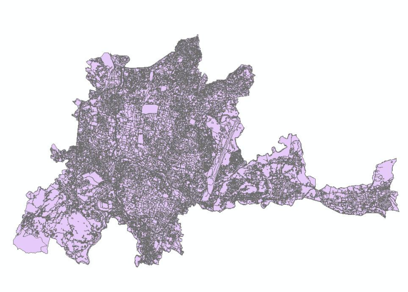
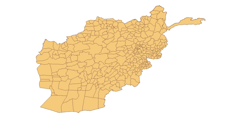
Digital polygon dataset of Type of Schools per District of Afghanistan. This dataset is basic Vector layer derived from Afghanistan Information Management Systems (AIMS), Afghanistan.
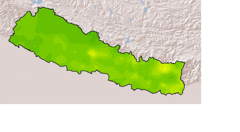
Monthly mean precipitation of October 2001 of Nepal. This dataset is created using actual averages precipitation using Win-surfer and GIS-arc/info software packages. The mean values were derived from..
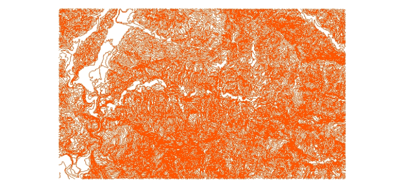
Digital line data of Contours of Ludhi khola Watershed, Gorkha, Nepal. This dataset is created using Topographic sheet data at scale of 25,000/50,000, of 1995 acquired from National Geographic Inform..