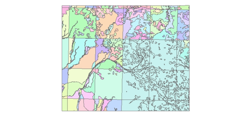
Digital data of Land use of Kayar Khola Watershed, Chitwan, Nepal. This dataset is created using Topographic sheet data at scale of 25,000/50,000, of 1995 acquired from National Geographic Informatio..
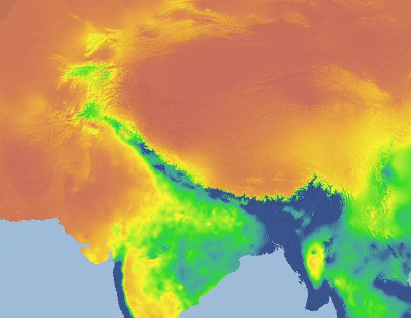
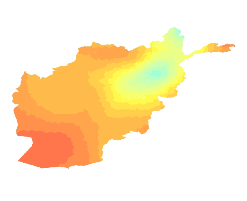
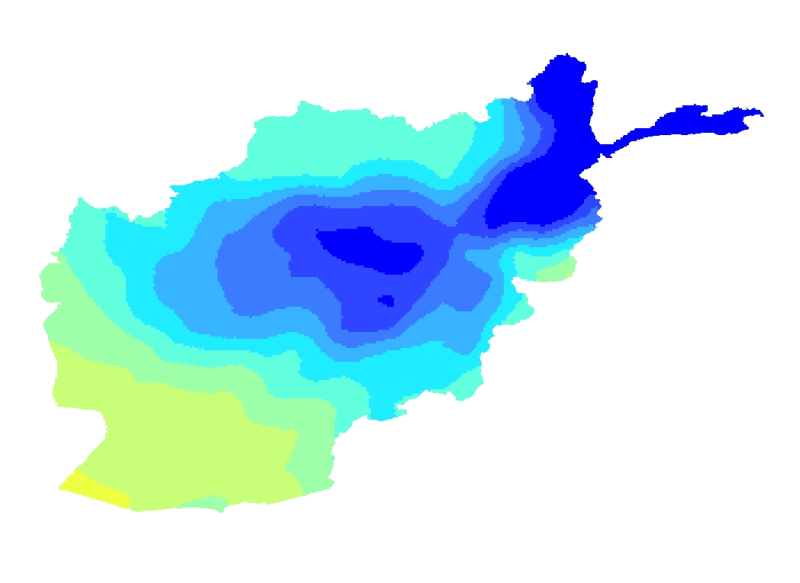
The HKH Region Climate data were derived from WorldClim(http://www.worldclim.org/), This map layer shows annual precipitation, for the period of 1950-2000.
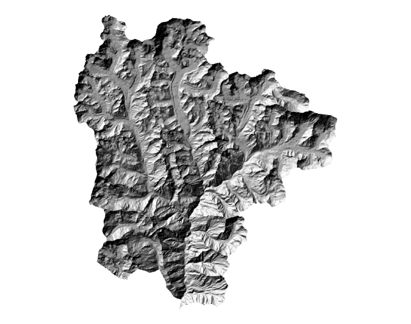
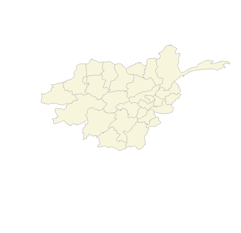
Digital grid data of Hill-shade of Sagarmatha National Park, Nepal. This dataset is derived from DEM created using Topographic sheet data at scale of 25,000/50,000, of 1995 acquired from National Geo..
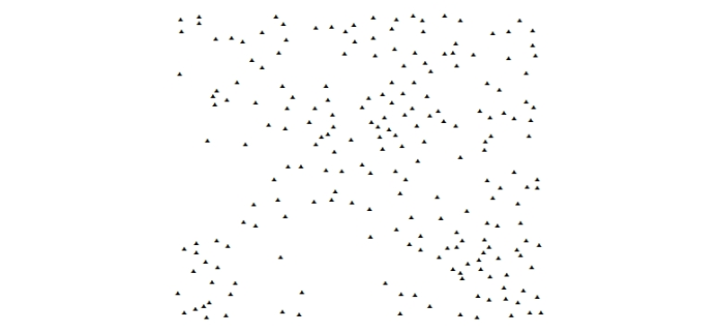
Digital point data of Settlement locations of Kayar Khola Watershed, Chitwan, Nepal. This dataset is created using Topographic sheet data at scale of 25,000/50,000, of 1995 acquired from National Geo..
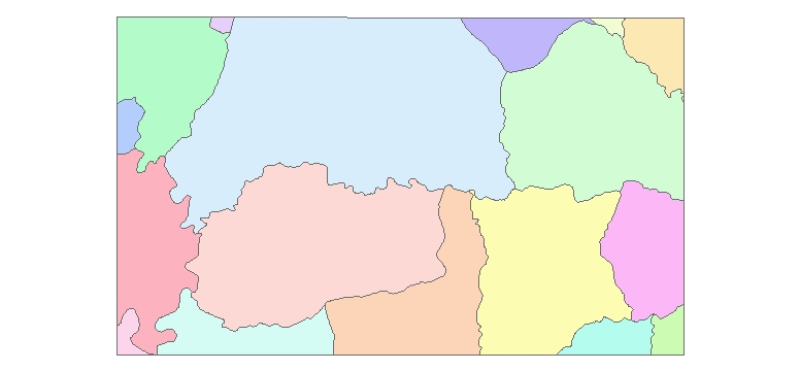
Digital polygon data of Village Development Committee, VDC Boundary of Ludhi Khola Watershed, Gorkha, Nepal. This dataset is created using Topographic sheet data at scale of 25,000/50,000, of 1995 ac..
Digital polygon dataset of Spoken languages of Afghanistan at district level. This dataset is created using 1:1,000,000 scale map of Afghanistan and derived from Afghanistan Information Management Sy..
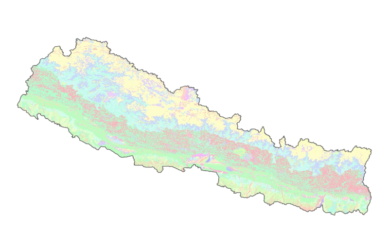
Digital dataset of Land use of Dhading district, Nepal. This dataset is created using 1:50,000 scale Land use map of Land published by Land Resource Mapping Project (LRMP), Dept. of Survey, Nepal 198..