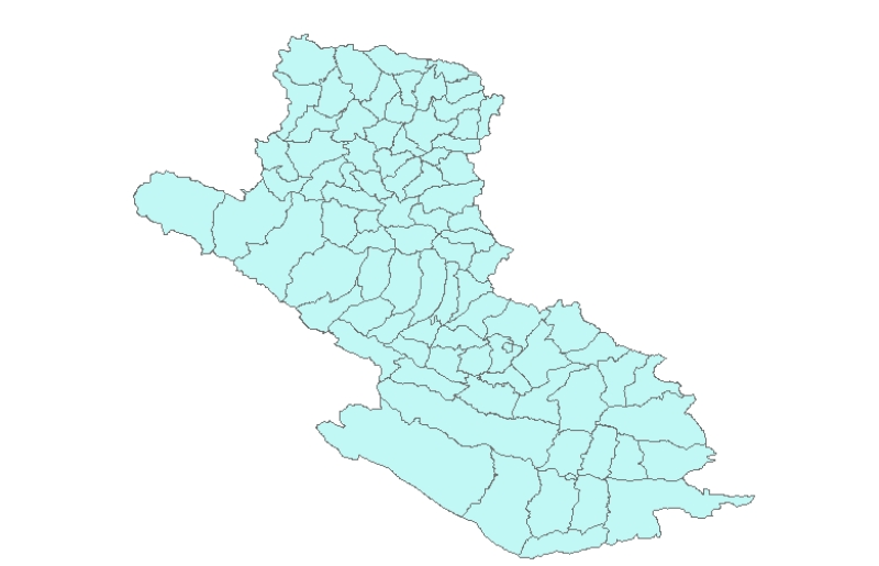
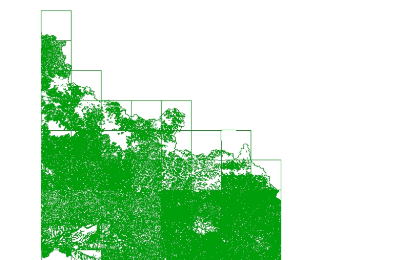
Digital polygon dataset of Village Development Committee, VDC Boundary of Dang and Salyan districts, Nepal. This dataset is created using 1:125,000 scale District Map published by Department of Surve..
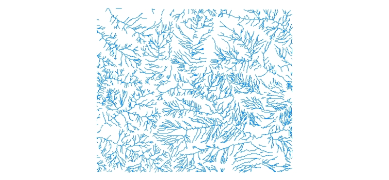
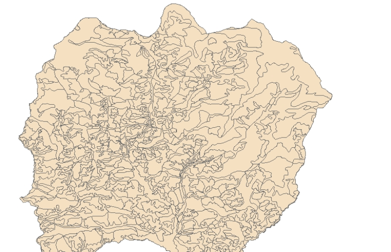
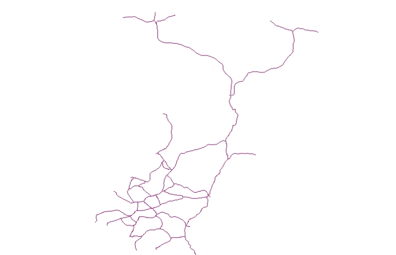
Digital line dataset of River Network of Charnawati River Watershed, Dolakha, Nepal. This dataset is created using Topographic sheet data at scale of 25,000/50,000, of 1995 acquired from National Geo..
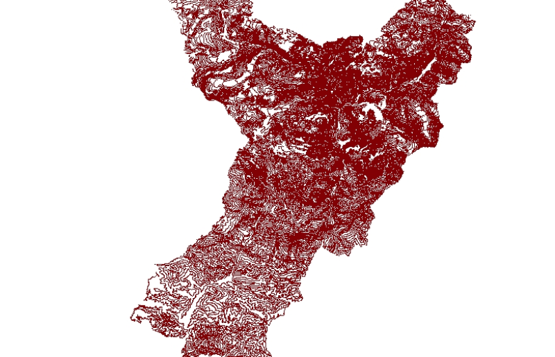
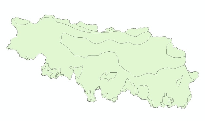
Digital polygon data of Ward Boundary of Ludhi Khola Watershed, Gorkha, Nepal. This dataset is created using Topographic sheet data at scale of 25,000/50,000, of 1995 acquired from National Geographi..
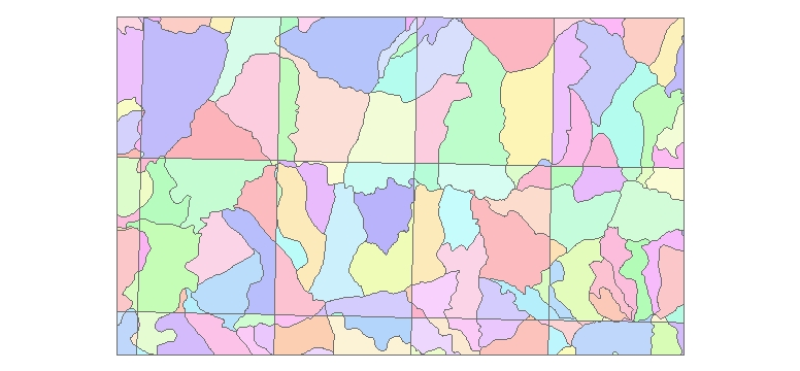
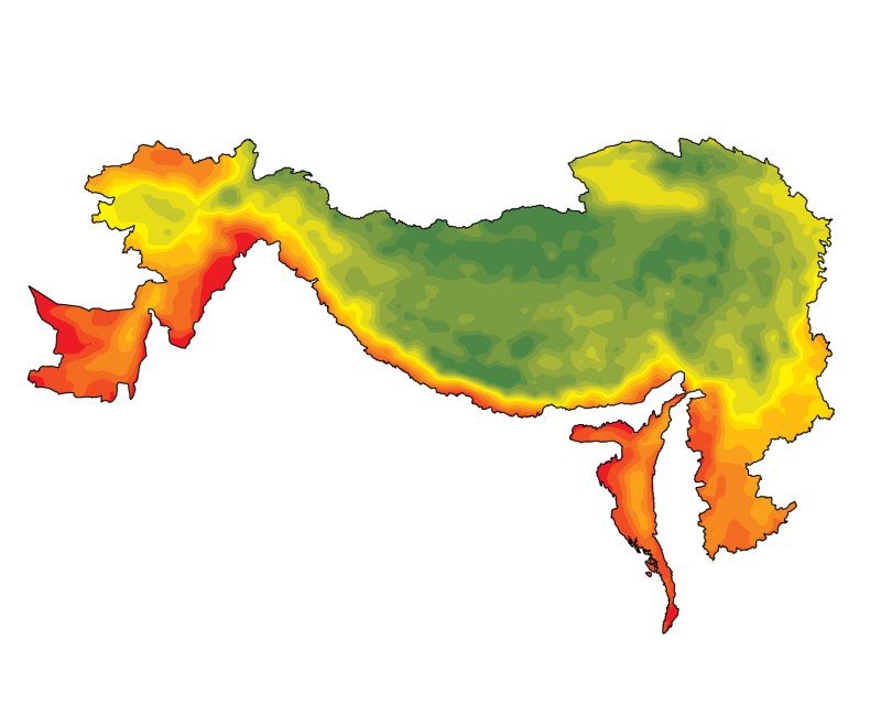
Digital dataset of Land use of Lamjung district, Nepal. This dataset is created using Land use map published by Land Resource Mapping Project (LRMP), Department of Survey, Nepal 1986.