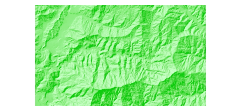
Digital grid data of Hill-shade of Ludhi khola Watershed, Gorkha, Nepal. This dataset is created using
Topographic sheet data at scale of 25,000/50,000, of 1995 acquired from National Geographic Info..
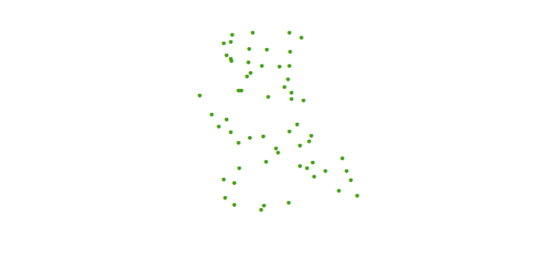
Digital point dataset of Sample Plots of Charnawati River Watershed, Dolakha, Nepal. This dataset is created using Topographic sheet data at scale of 25,000/50,000, of 1995 acquired from National Geo..
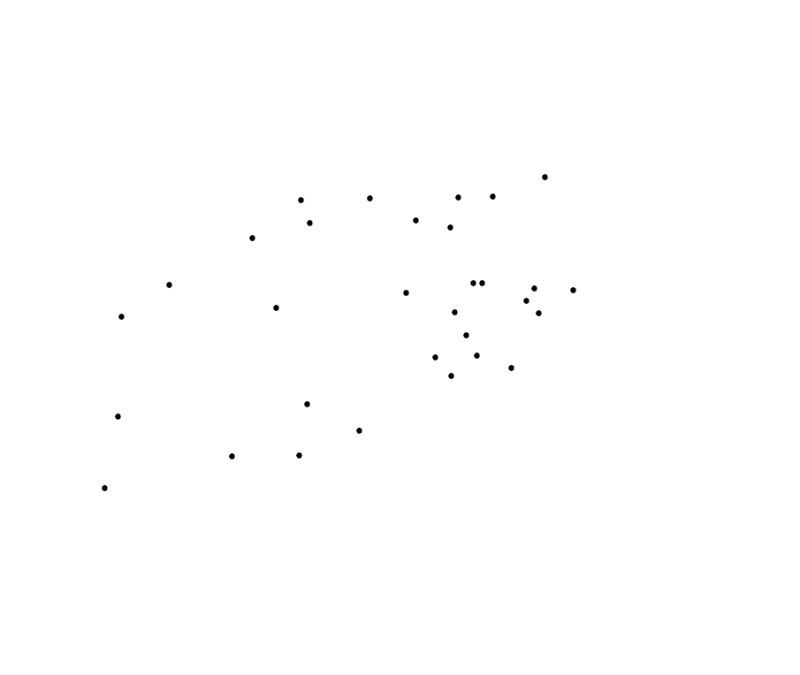
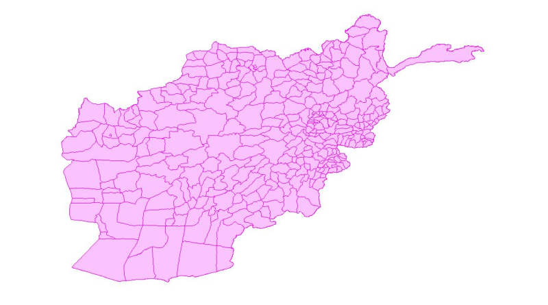
Digital polygon dataset of Location of Education institutions per District of Afghanistan. This dataset is basic Vector layer acquired from ESRI Data and Maps, 2001 and derived from Afghanistan Infor..