Digital line data of Water bodies of Ludhi khola Watershed, Gorkha, Nepal. This dataset is created using Topographic sheet data at scale of 25,000/50,000, of 1995 acquired from National Geographic In..
Digital point dataset of Schools without Drinking Water access of Afghanistan. This dataset is basic vector layer derived from Afghanistan Information Management Systems (AIMS), Afghanistan.
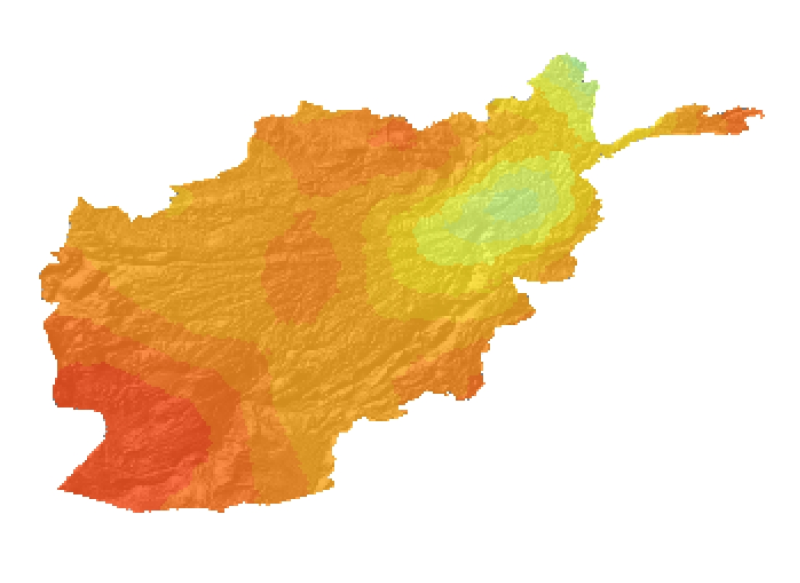
This Layer shows five major water basins (Norther Basin, Hari Rod-Lower, South Eastern Basin, Northern Basin, Helmand Basin and Nondranage areas in Southern part of Afghanistan.
Relative humidity (in percentage) and actual vapour pressure (in millibar) at 08:45 and 17:45 NST are computed from the readings taken from the non-aspirated simple Psychrometer (dry bulb and wet bul..
Digital point dataset of Location of Education institutions of Afghanistan. This dataset is acquired from ESRI Map & Data 2001 and Afghanistan Information Management Systems (AIMS), Afghanistan.
Digital line dataset of Road network of Wangchu, Bhutan. This dataset is created using topographic sheet maps at scale of 50000 and prepared by ICIMOD.
Digital Grid dataset of Population density estimates in 2000 for HKH region. This dataset is downloaded from the Center for International Earth Science Information Network (CIESIN), Columbia Universi..