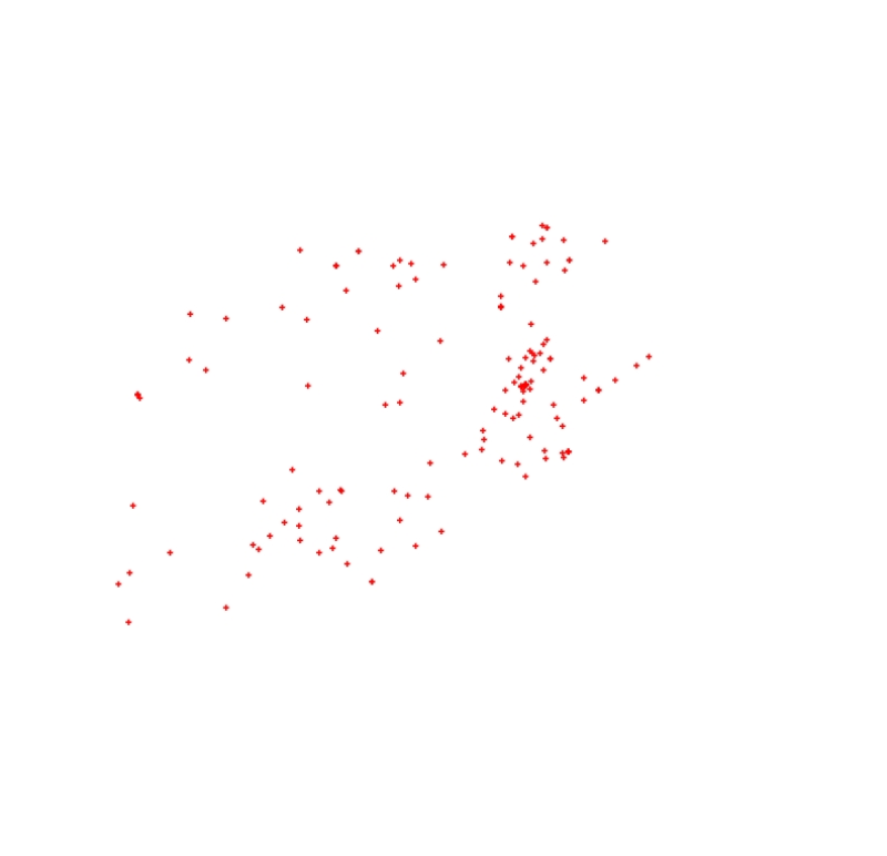
Digital point dataset of Location of Hospitals of Afghanistan. This dataset is created using 1:1,00,000 scale map of Afghanistan and derived from Afghanistan Information Management Systems (AIMS), Af..
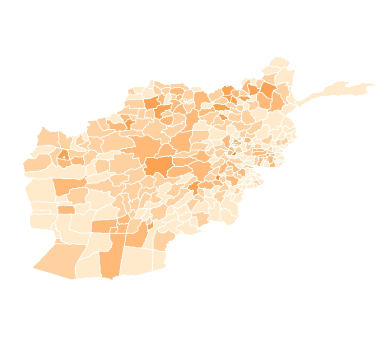
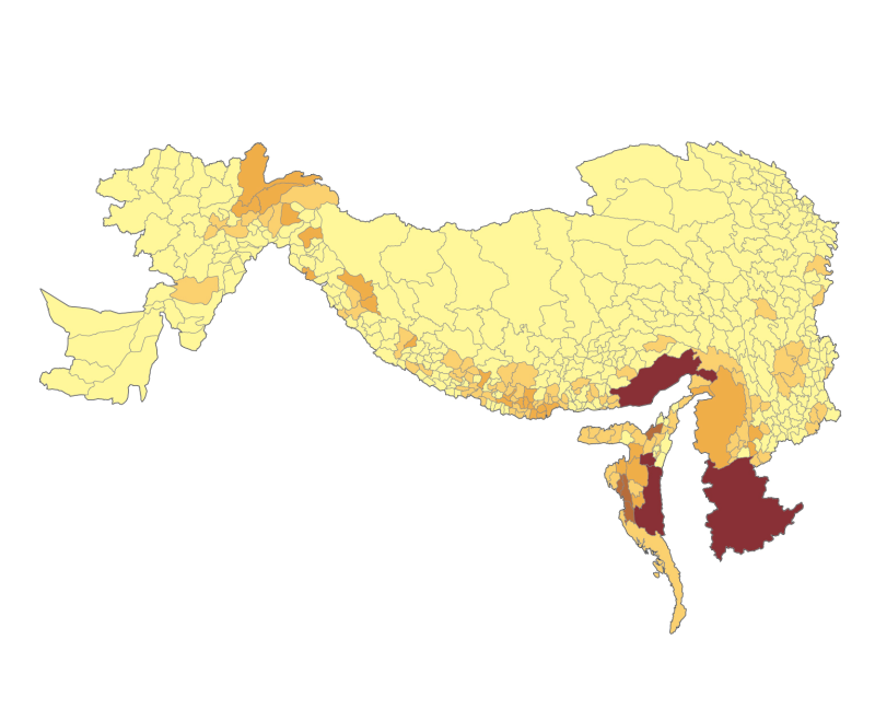
Digital polygon dataset of Population Distribution of 1998 per District of Afghanistan. This dataset is acquired from ESRI Map & Data 2001 and Afghanistan Information Management Systems (AIMS), Afgha..
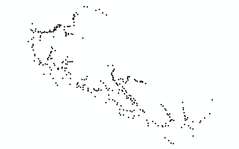
Digital point dataset of Settlements of Central Karakoram National Park(CKNP) area, Pakistan. This dataset is created from topographic sheet maps at scale of 20000 and GPS based field survey conducte..
Annual Mean Precipitation data for Caurikhark station, Koshi Basin, Nepal. This dataset is based on average daily precipitation reading which is accumulated for month and Accumulated monthly totals f..
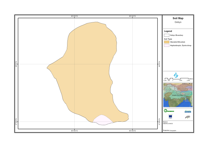
Digital polygon dataset of Soil type of Gyoko Nepal. The dataset is created using Soil maps of Nepal,published by Department of Mines and Geology, Kathmandu Nepal.
Digital line dataset of utilities of Charnawati River Watershed, Dolakha, Nepal. This dataset is created using Topographic sheet data at scale of 25,000/50,000, of 1995 acquired from National Geograp..
Digital polygon dataset of Major spoken Languages of Hindu Kush Himalayan (HKH) Region. This dataset is basic vector layer derived from ESRI Map & Data in 2001 and language data acquired from CEGG/IC..
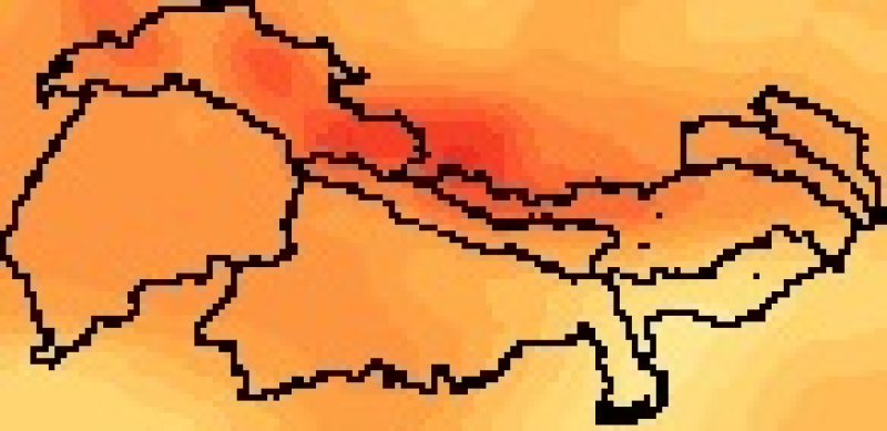
RCM Climate data for different scenario (reference period, future projection), RCP 4.5 and RCP 8.5. These following models are included in data;GISS-E2-R-r4i1p1, IPSL-CM5A-LR-r4i1p1,IPSL-CM5A-LR-r3i1..
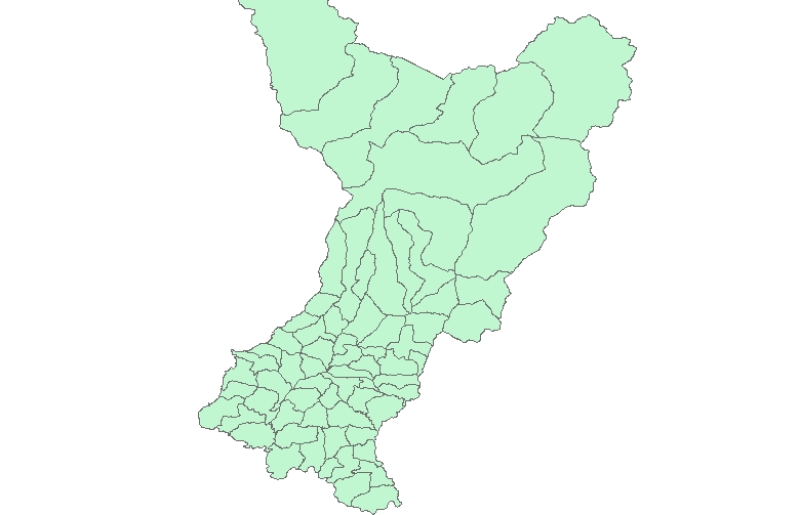
Digital polygon data of Village Development Committee, VDC Boundary of Gorkha District, Nepal. This dataset is created using Topographic sheet data at scale of 25000/50,000, of 1995 acquired from Nat..