A comparison between male and female population residing in the Koshi Basin Districts in various parameters shows more male population who have higher literacy rate, higher rate of land and house own..
Digital table data of Socio-economic Characteristics of Koshi Basin. This dataset is created using population census at district level and comprise major socio-economic indicators captured in this s..
Digital polygon data of Land system of Nepal. The dataset includes details of land forms, soil type, drainage conditions etc. This dataset is created using Land System Map, published by Land Resource..
Digital polygon dataset of Villages of Central Karakoram National Park(CKNP) area, Pakistan. This dataset is created using topographic sheet maps at scale of 20000.
Digital line dataset of Road Network of Lamjung district, Nepal. This dataset is created using Central Service Map of 1:125,000 scale, published by Suspension Bridge Division (SBD), Kathmandu, Nepal ..
Digital point dataset of Veterinary Hospitals of Central Karakoram National Park (CKNP) area, Pakistan. This dataset is compiled through GPS based field survey conducted in year 2008.
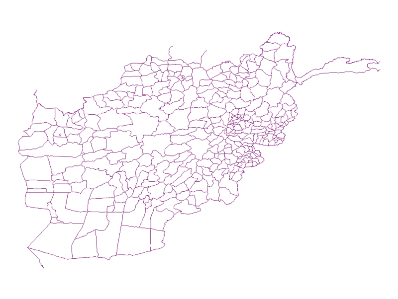
Digital line dataset of District Boundary of Afghanistan. This dataset is created using 1:1,000,000 scale map of Afghanistan and derived from Afghanistan Information Management Systems (AIMS), Afghan..