Nepal is one of the most flood prone country and the flood hazard layer represents modelled hazard representations along major rivers of Nepal. The project with external funding was implemented by DW..
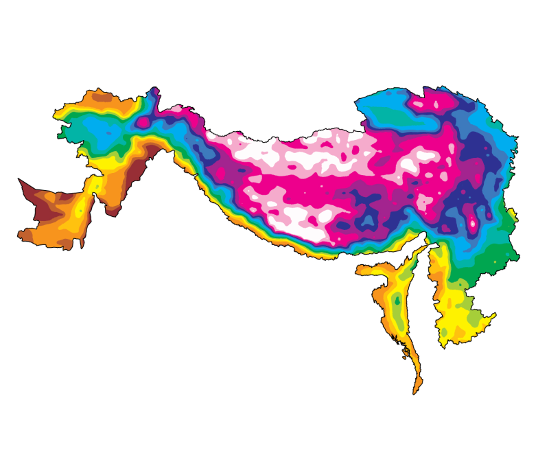
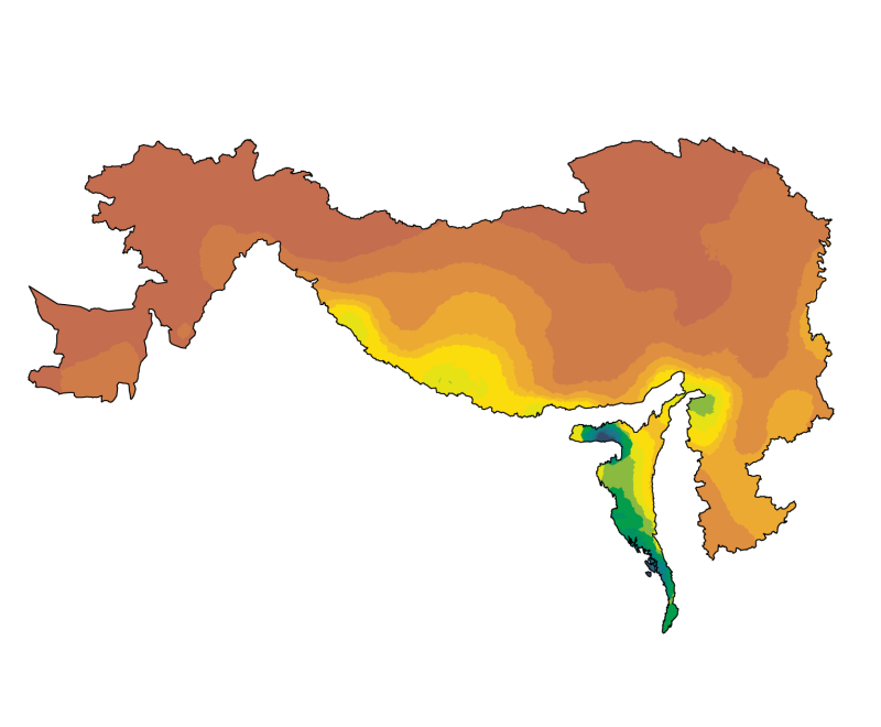
Digital Grid dataset of Population density estimates in 2005 for HKH region. This dataset is downloaded from the Center for International Earth Science Information Network (CIESIN), Columbia Universi..
This Meteorological station shows the measurement of Temperature, Relative Humidity, Wind Direction, Wind Speed, Pressure and Rainfall at Okhalddhunga, Nepal.
This Meteorological station shows the measurement of Temperature, Relative Humidity, Wind Direction, Wind Speed, Pressure and Rainfall at Kalam, Pakistan
The Gorkha earthquake (M 7.8) on 25 April 2015 and later aftershocks struck South Asia, killing 9,000 and damaging a large region. Supported by a large campaign of responsive satellite data acquisiti..