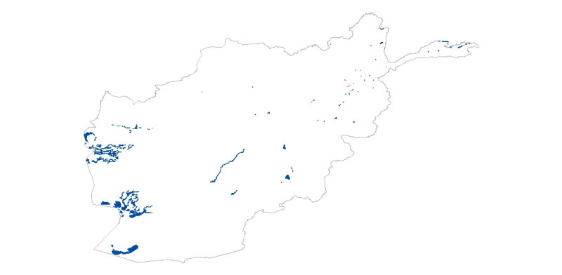
Digital polygon dataset of Lakes of Afghanistan. This dataset is created using 1:1,000,000 scale map of Afghanistan and derived from Afghanistan Information Management Systems (AIMS), Afghanistan.
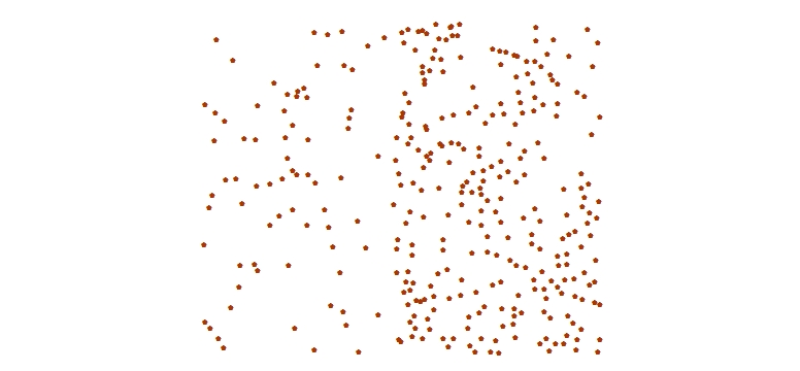
Digital point dataset of Elevation points of Charnawati River Watershed, Dolakha, Nepal. This dataset is created using Topographic sheet data at scale of 25,000/50,000, of 1995 acquired from National..
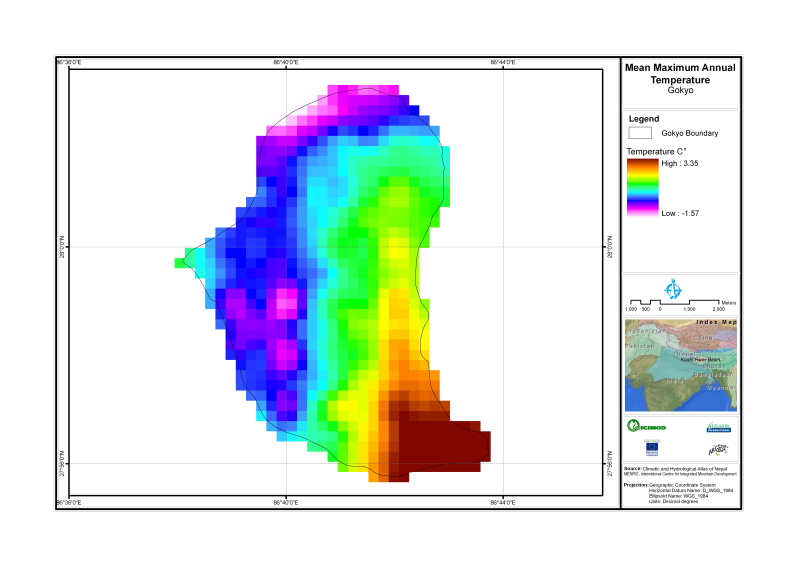
Digital grid dataset of Annual mean maximum temperature of Gyoko Nepal. The dataset is created based on data from Department of Hydrology & Meteorology, Nepal.
Digital line data of Contour of Kayar Khola Watershed, Chitwan, Nepal. This dataset is created using Topographic sheet data at scale of 25,000/50,000, of 1995 acquired from National Geographic Inform..
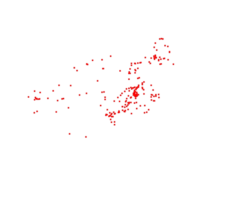
Digital point dataset of Sighting Point locations of Central Karakoram National Park(CKNP) area, Pakistan. This dataset is compiled through GPS based field survey conducted in year 2008.
Digital dataset of Astore Markhore habitat area of Central Karakoram National Park (CKNP) area, Pakistan. This dataset is compiled through GPS based field survey conducted in year 2008 based on basel..
This dataset is created using 1:1,000,000 scale map of Afghanistan and derived from Afghanistan Information Management Systems (AIMS), Afghanistan and ESRI Data and Maps 2001.