Digital point dataset of Identified Tree cluster of Ludhi khola Watershed, Gorkha, Nepal. This dataset is created using Topographic sheet data at scale of 25,000/50,000, of 1995 acquired from Nationa..
Digital dataset of Wetland ecosystem of Koshi Tappu Reserve within Koshi Basin. This dataset consist various vegetation cover/ land cover and water bodies for Koshi Tappu.
Average delta change for monthly mean air temperature (Tavg), monthly maximum air temperature (Tmax), monthly temperature (Tmin) and monthly precipitation (P). This dataset has a monthly temporal res..
Digital point dataset of Building Footprints of Kayar Khola Watershed, Chitwan, Nepal. This dataset is created using Topographic sheet data at scale of 25,000/50,000, of 1995 acquired from National G..
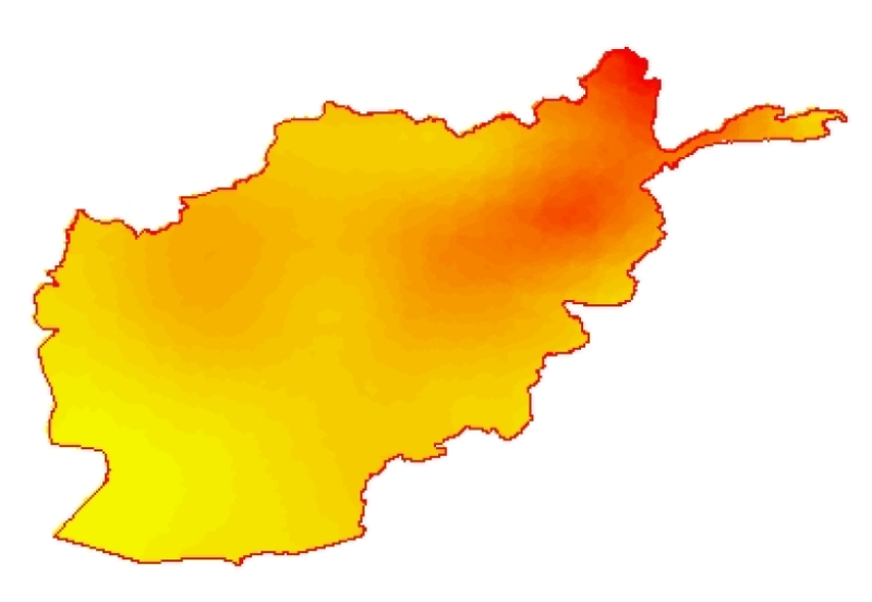
Digital polygon dataset of Major River Basins of Afghanistan. This dataset is created using 1:1,000,000 scale map of Afghanistan and derived from AIMS, Afghanistan.
This Meteorological station shows the measurement of Temperature, Relative Humidity, Wind Direction, Wind Speed Pressure and Rainfall at Hongtsho, Bhutan.