Digital polygon data of Glaciers of Bhutan in 1990. This dataset is created using Landsat MSS and TM imageries of 1990. The glacier outlines was derived semi-automatically using object-based image cl..
Digital polygon data of Glaciers of Bhutan in 1980. This dataset is created using Landsat MSS imageries of 1980. The glacier outlines was derived semi-automatically using object-based image classific..
Digital polygon data of Glaciers of Nepal in 1980, 1990, 2000 and 2010. This dataset is created using Landsat MSS,TM and ETM+ imageries of four respective decades. The glacier outlines were derived..
Digital polygon data of Glaciers of Bhutan in 2010. This dataset is created using Landsat TM and ETM+, imageries of 2010. The glacier outlines was derived semi-automatically using object-based image ..
Digital polygon data of Glaciers of Bhutan in 1990. This dataset is created using Landsat MSS, imageries of 1990. The glacier outlines was derived semi-automatically using object-based image classifi..
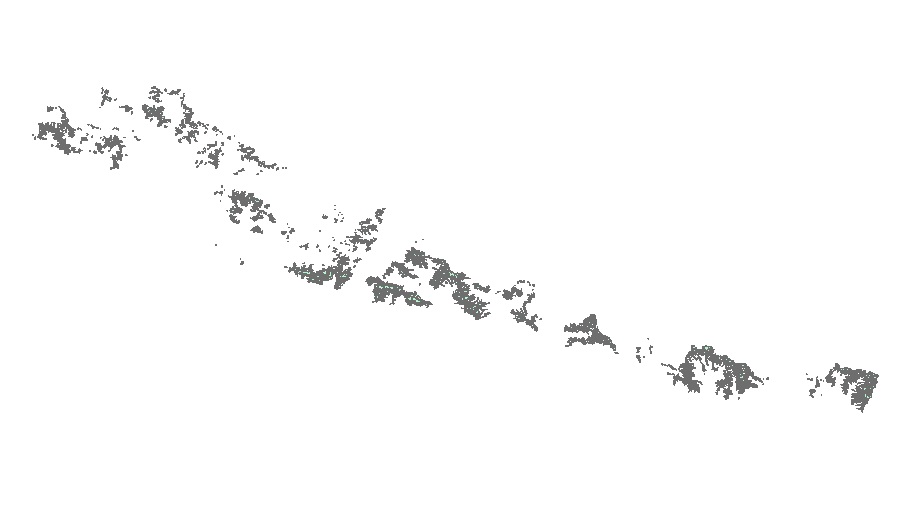
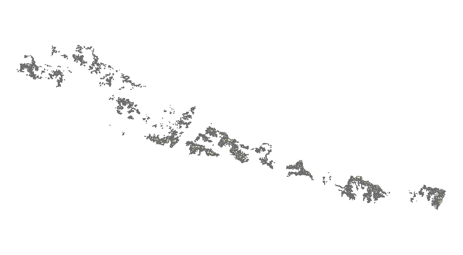
Digital polygon data of Glaciers of Bhutan in 1980, 1990, 2000 and 2010. This dataset is created using Landsat MSS, TM and ETM+ imageries of respective years. The glacier outlines was derived semi-au..
Digital polygon data of Glaciers of Nepal in 2000. This dataset is created using Landsat MSS, TM imageries of 2000. The glacier outlines was derived semi-automatically using object-based image classi..
Digital polygon data of Glaciers of Nepal in 1990. This dataset is created using Landsat MSS, TM imageries of 1990. The glacier outlines was derived semi-automatically using object-based image classi..
Digital polygon data of Glaciers of Nepal in 1980. This dataset is created using Landsat MSS, imageries of 1980. The glacier outlines was derived semi-automatically using object-based image classific..
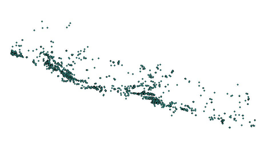
Moderate Resolution Imaging Spectroradiometer (MODIS) based active fire incident location data in Nepal from February 2012 to June 2016. The active fire data has been overlaid with land cover data o..