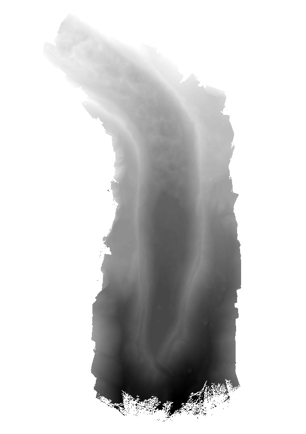
Elevation model of Lirung Glacier produced from unmanned aerial vehicle imagery using the Structure from Motion algorithm. The data is georeferenced using ground control points measured with differen..
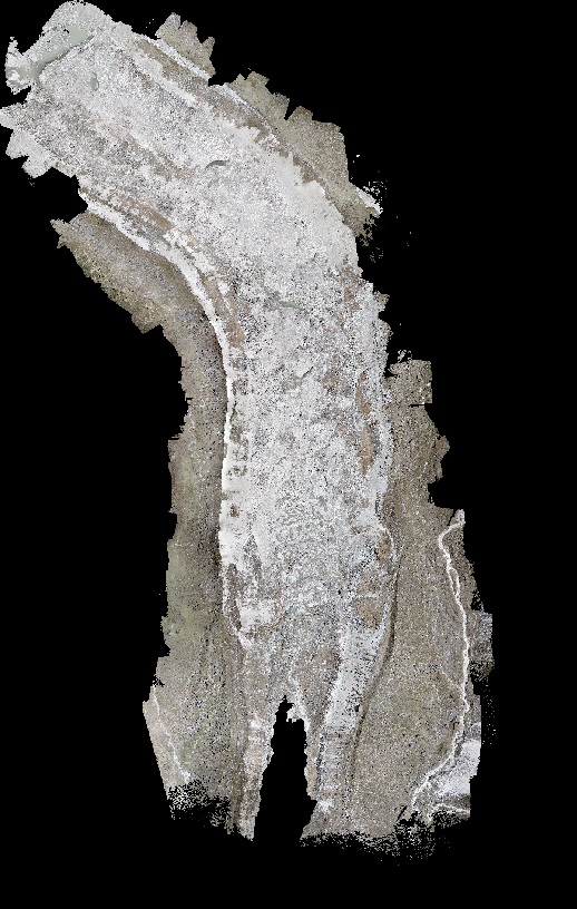
Orthomosaic of Lirung Glacier produced from unmanned aerial vehicle imagery using the Structure from Motion algorithm. The data is georeferenced using ground control points measured with differential..
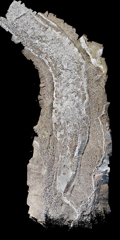
Orthomosaic of Lirung Glacier produced from unmanned aerial vehicle imagery using the Structure from Motion algorithm. The data is georeferenced using ground control points measured with differential..
AWS next to the high basecamp below Yala Glacier (next to main lake). It measures all atmospheric variables (including precipitation from a Pluviometer).
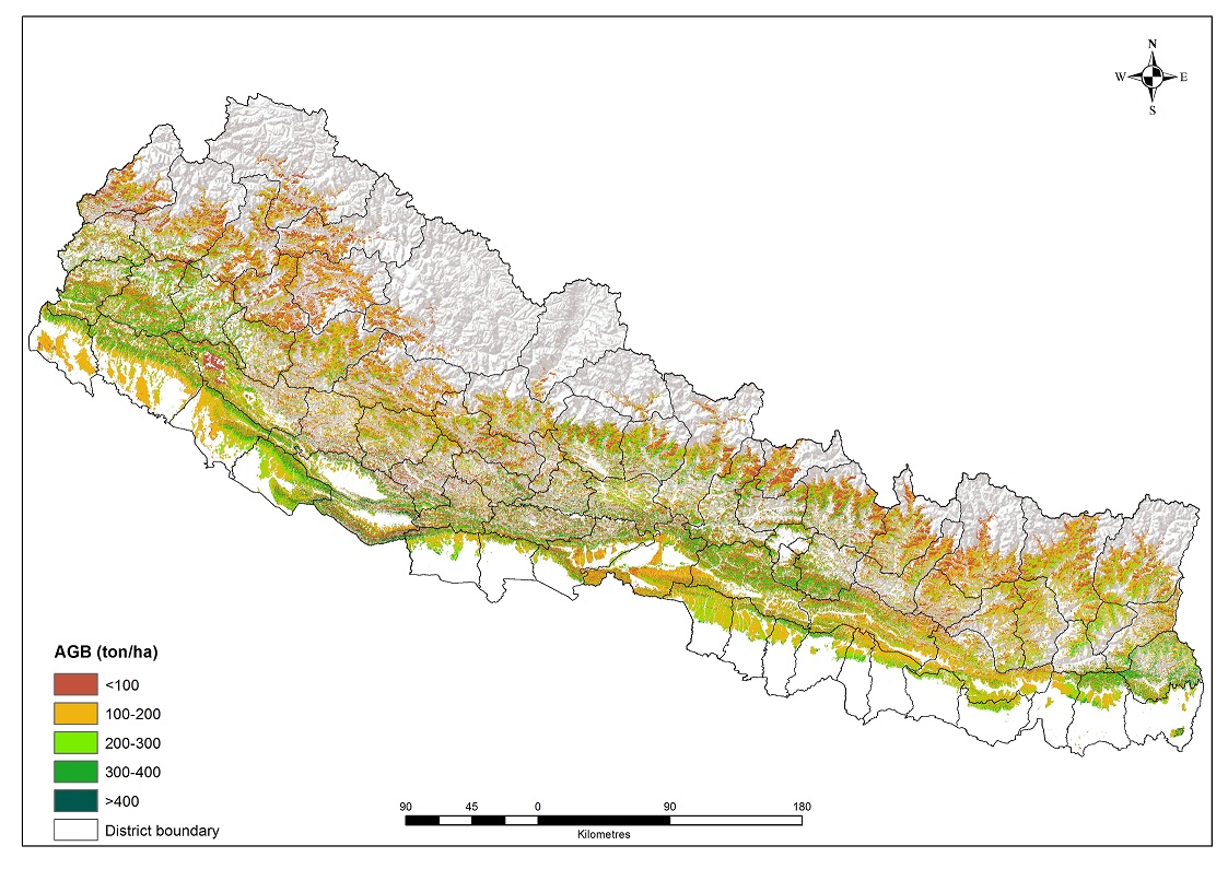
From the field well distributed circular (750m2 and 500m2), 1124 field plots (0.001% representation of forest cover) measured which were used for estimation AGB (ton/ha) using Sharma et al. (1990) pr..
In the watershed level, existing lease hold forest boundary delineated to know the exact area under the lease hold forest. GeoEye-2009 image used for this pupose in the Kayerkhola watershed
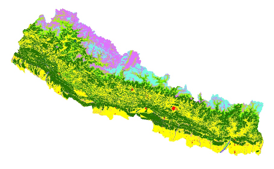
Land cover and its change analysis across the Hindu Kush Himalayan (HKH) region is realized as an urgent need to support diverse issues of environmental conservation. This study presents the first an..