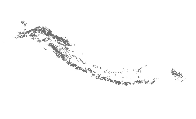
Landslide inventory is polygon of every landslide for landslide characterization and analsysis to understand landslide distribution pattern, and identify areas susceptible to landslide events in futu..
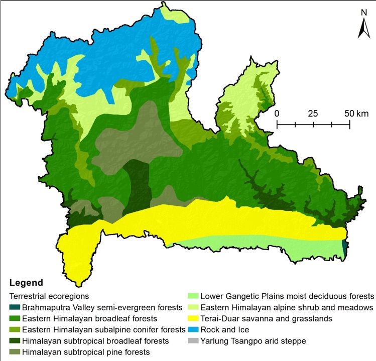
The past few decades have seen high levels of deforestation and forest degradation in the Hindu Kush Himalayan (HKH) region. In this context, under SERVIR Himalaya programme, ICIMOD has developed for..
Digital polygon data of Status of Glaciers in Hindu Kush Himalayan (HKH) Region during 2005 ± 3 (2002-2008) years. This dataset is created using Landsat ETM+ imageries of respective years. The glacie..
Digital polygon data of Glaciers of Bhutan in 2010. This dataset is created using Landsat TM and ETM+, imageries of 2010. The glacier outlines was derived semi-automatically using object-based image ..
Digital polygon data of Glaciers of Bhutan in 2000. This dataset is created using Landsat TM and ETM+, imageries of 2000. The glacier outlines was derived semi-automatically using object-based image ..