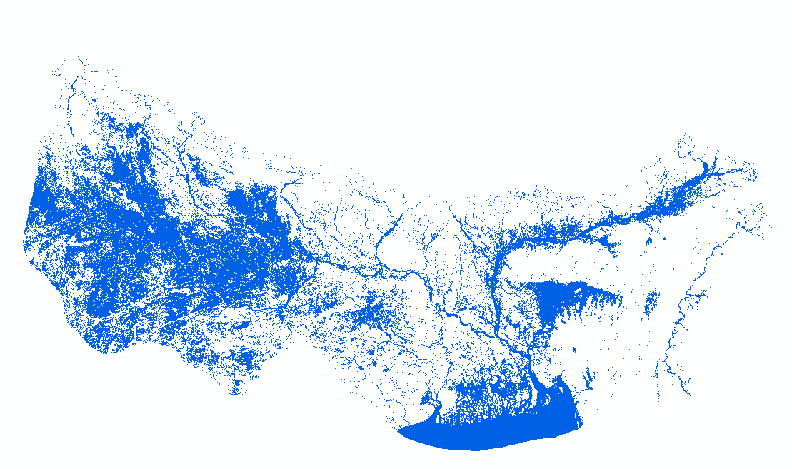
HydroSAR Hydro30 Surface Water Extent Product provides Radiometric Terrain Corrected (RTC) surface water extent over flood-prone regions in the Hindu Kush Himalaya (HKH) for the 2022 monsoon season. ..
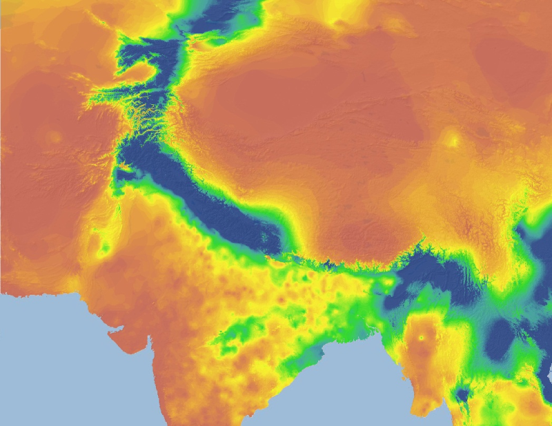
The HKH Region Climate data were derived from WorldClim(http://www.worldclim.org/), This map layer shows maximum temperature of warmest month for the period of 1950-2000.
The HKH Region Climate data were derived from WorldClim(http://www.worldclim.org/), This map layer shows precipitation of driest quarter for the period of 1950-2000.
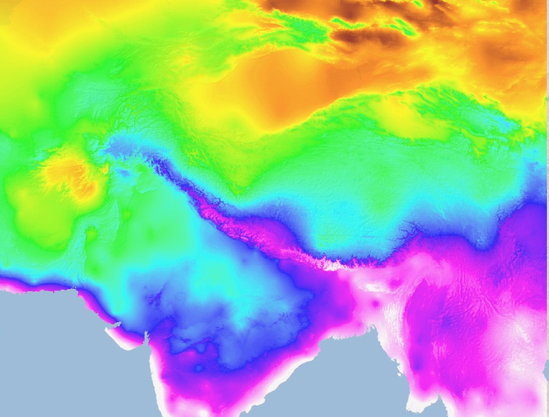
The HKH Region Climate data were derived from WorldClim(http://www.worldclim.org/), This map layer shows annual temperature range for the period of 1950-2000.