Digital point dataset of Gemstone Mine locations of Central Karakoram National Park(CKNP) area, Pakistan. This dataset is compiled through GPS based field survey conducted in year 2008.
Digital polygon dataset of Watershed of Central Karakoram National Park(CKNP) area, Pakistan. This dataset is derived from 30 meter spatial resolution ASTER DEM.
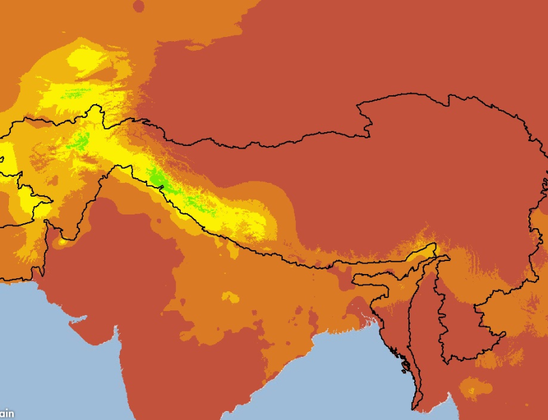
The HKH Region Climate data were derived from WorldClim(http://www.worldclim.org/), This map layer shows monthly precipitation, for the period of 1950-2000. The data layers were generated through int..
Digital dataset of Musk Deer habitat area of Central Karakoram National Park (CKNP) area, Pakistan. This dataset is compiled through GPS based field survey conducted in year 2008 based on baseline st..
Digital point dataset of Meteorological stations of Central Karakoram National Park(CKNP) area, Pakistan. This dataset is compiled through GPS based field survey conducted in year 2008.
Digital point data of Settlement locations of Charnawati River Watershed, Dolakha, Nepal. This dataset is created using Topographic sheet data at scale of 25,000/50,000, of 1995 acquired from Nationa..
Digital point data of Spot Height locations of Ludhi Khola Watershed, Gorkha, Nepal. This dataset is created using Topographic sheet data at scale of 25,000/50,000, of 1995 acquired from National Geo..
Digital polygon dataset of Built-up area of Ludhi khola Watershed, Gorkha, Nepal. This dataset is created using Topographic sheet data at scale of 25,000/50,000, of 1995 acquired from National Geogra..