Nepal earthquake of 2015 resulted in activation and re-activation of many landslides in and around epi-center and after shock areas. The landslide inventory was prepared by visually digitizing landsl..
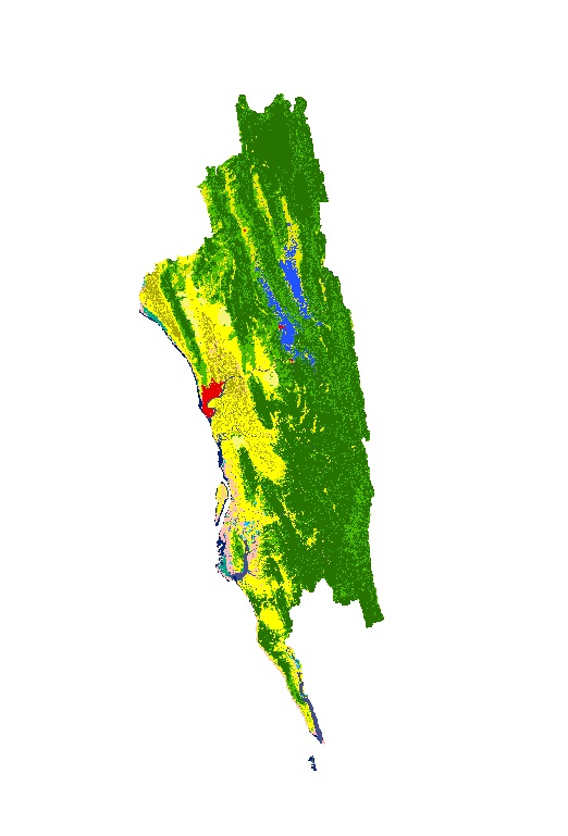
Land cover data of Greater Chittagong, Bangladesh for 2010. This dataset is created using the LandSat 30 meter spatial resolution satellite image of 2000.