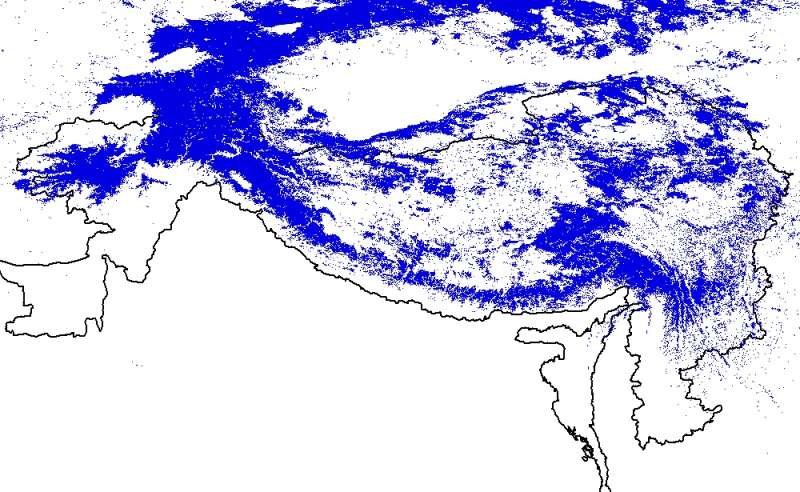
Digital polygon dataset of snow cover area of Hindu Kush Himalayan (HKH) Region. This dataset is generated from 8-day composite 500 m resolution Terra satellite image from MODIS and using global stan..
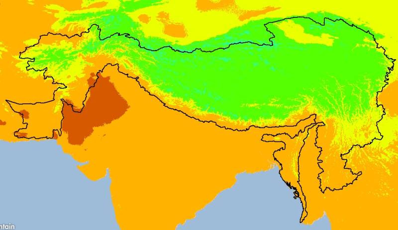
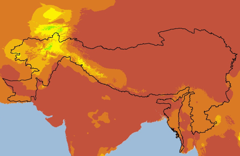
Digital grid dataset of monthly mean temperature (September) for the period of 1950-2000 of Hindu Kush Himalayan (HKH) Region. The dataset is derived from WorldClim (http://www.worldclim.org/), and m..
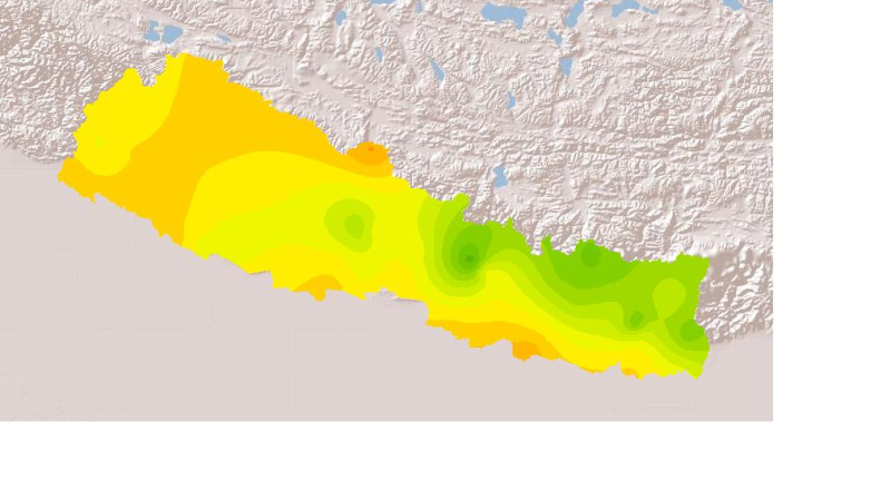
Daily mean sunshine duration of January 2001 of Nepal. This dataset is created using actual daily sunshine averages using Win-surfer and GIS-arc/info software packages. The mean values were derived f..
Digital grid dataset of monthly precipitation (December) for the period of 1950-2000 of Hindu Kush Himalayan (HKH) Region. The dataset is derived from WorldClim (http://www.worldclim.org/), and major..
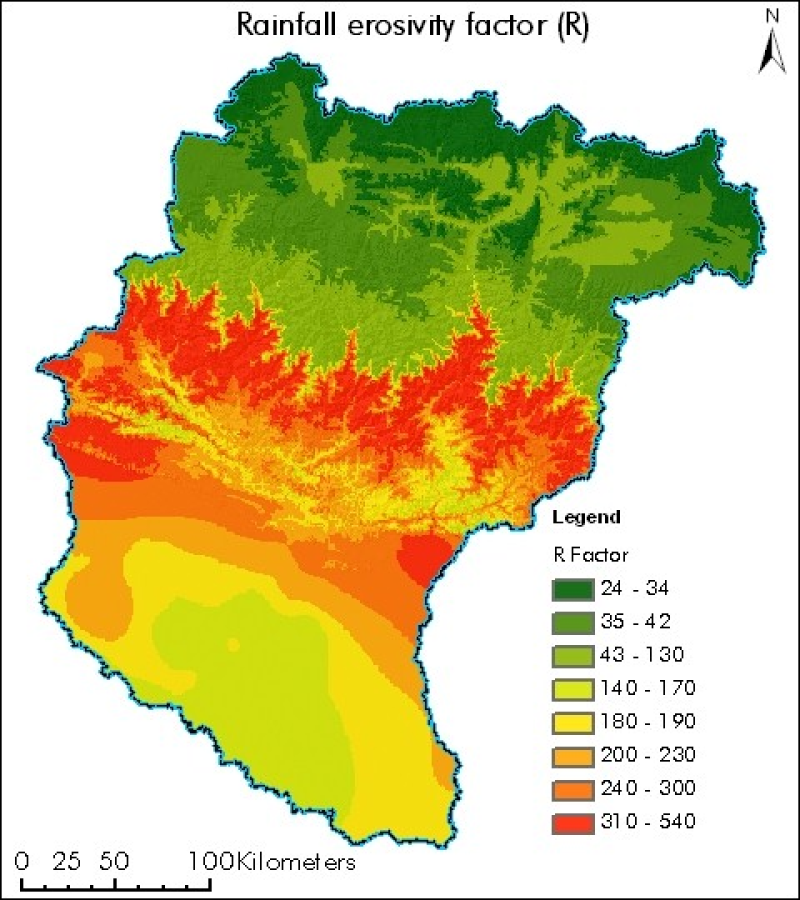
Digital polygon dataset of rainfall erosivity factor (R) of Koshi basin. The dataset is created using rainstorms of Nepal, India and China from world climate precipitation data. R-factor is computed ..
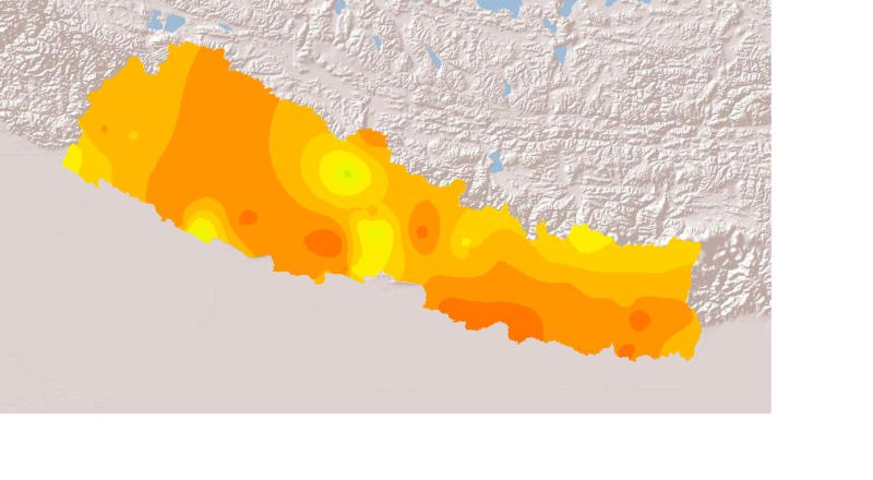
Daily mean sunshine duration of September 2001 of Nepal. This dataset is created using actual daily sunshine averages using Win-surfer and GIS-arc/info software packages. The mean values were derived..