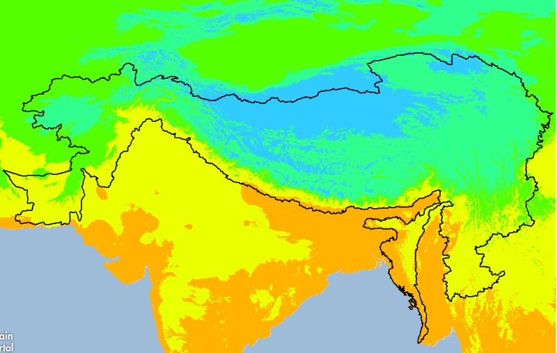
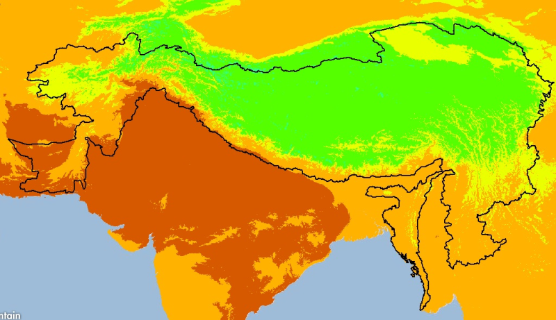
Digital grid dataset of minimum monthly temperature (October) for the period of 1950-2000 of Hindu Kush Himalayan (HKH) Region. The dataset is derived from WorldClim (http://www.worldclim.org/), and ..
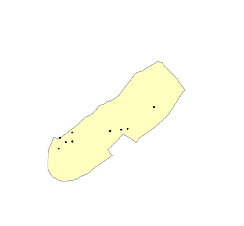
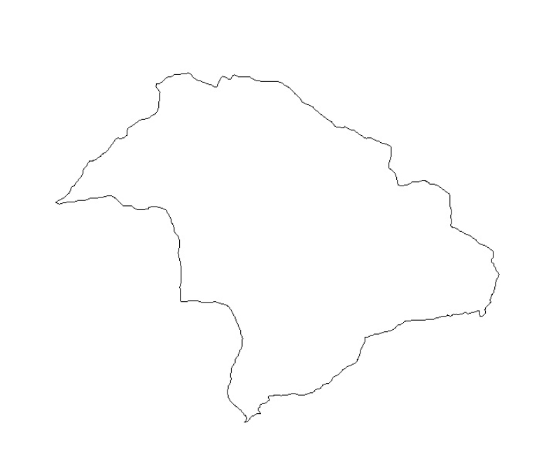
Digital line dataset of Watershed Boundary of Phobjikha Valley, Bhutan. This dataset is created using topographic sheet maps at scale of 50000 and prepared by ICIMOD.
Digital grid dataset of monthly mean temperature (June) for the period of 1950-2000 of Hindu Kush Himalayan (HKH) Region. The dataset is derived from WorldClim (http://www.worldclim.org/), and major ..