Other Residential Zones(Polygon) dataset of Kathmandu Metropolitian City for the Geo-visualization on emergency response in case of earthquake disaster.
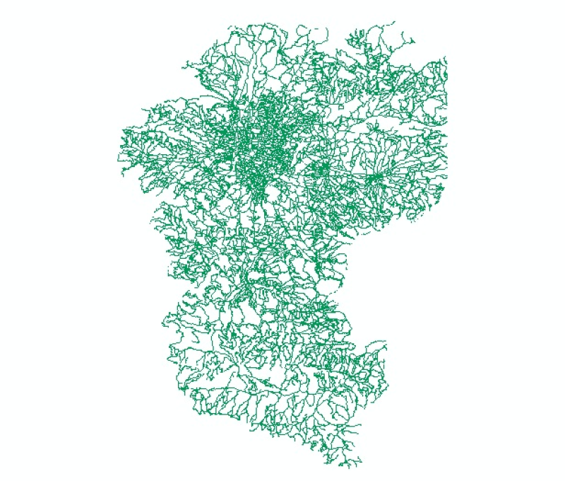
Digital line dataset of Road Network of Phobjikha Valley, Bhutan. This dataset is created using topographic sheet maps at scale of 50000 and prepared by ICIMOD.
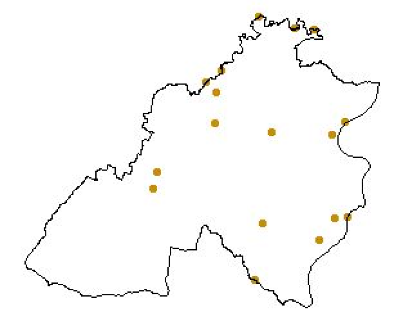
Digital point data of Bridge locations of Kirtipur Municipality, Nepal. This dataset is created using Utility and Infrastructure CAD data of Scale 1:2,000 prepared by Kathmandu Urban Development Proj..
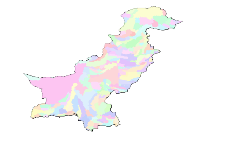
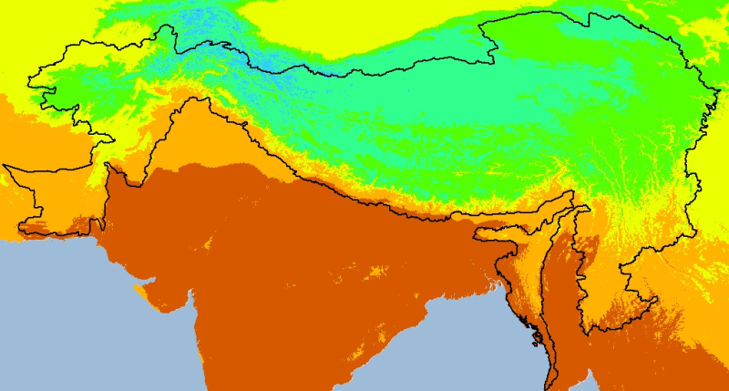
Digital grid dataset of monthly maximum temperature (March) for the period of 1950-2000 of Hindu Kush Himalayan (HKH) Region. The dataset is derived from WorldClim (http://www.worldclim.org/), and ma..