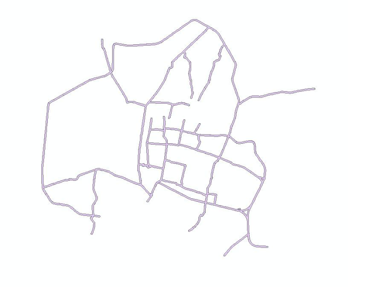
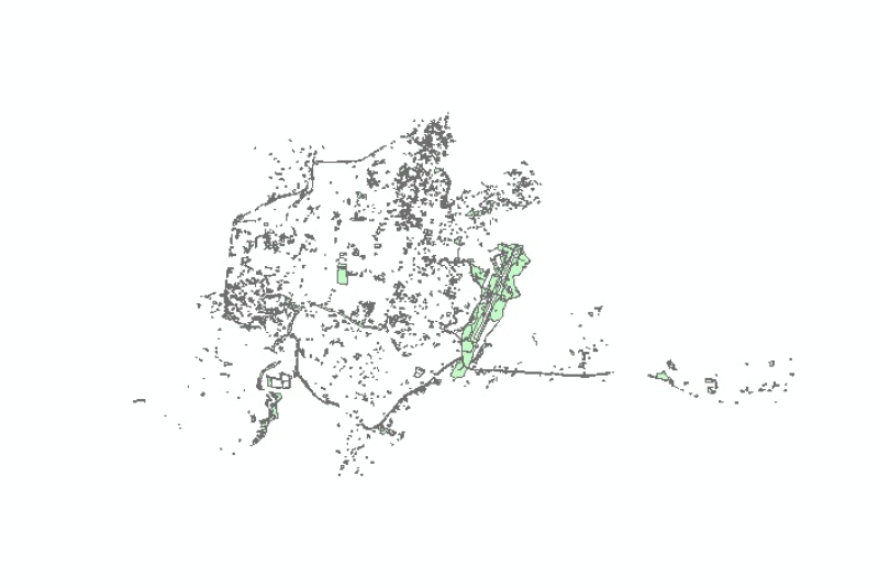
Digital polygon data of Business buffer zone area of Kathmandu Metropolitan City, Nepal. This dataset is created using Topographic sheet data at scale of 25,000/50,000, of 1995 acquired from National..
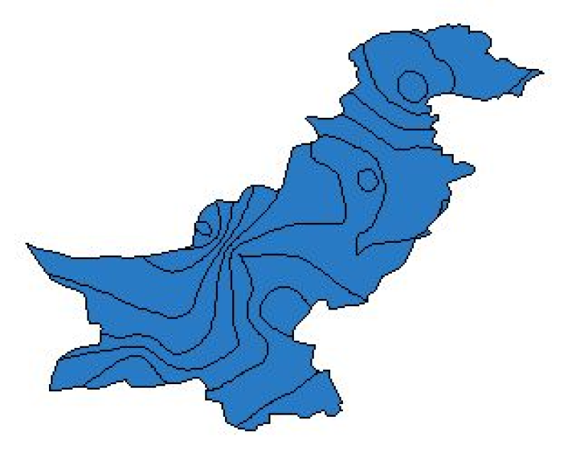
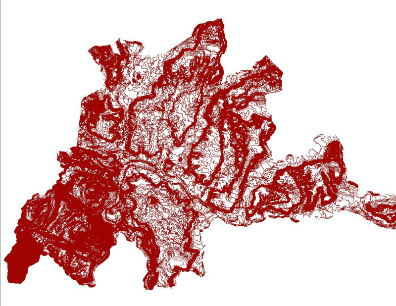
Digital polygon dataset of Annual Mean Minimum Temperature for Pakistan. The dataset is derived from Digital Chart of the world, DCW. The data layer is generated through interpolation of average mont..
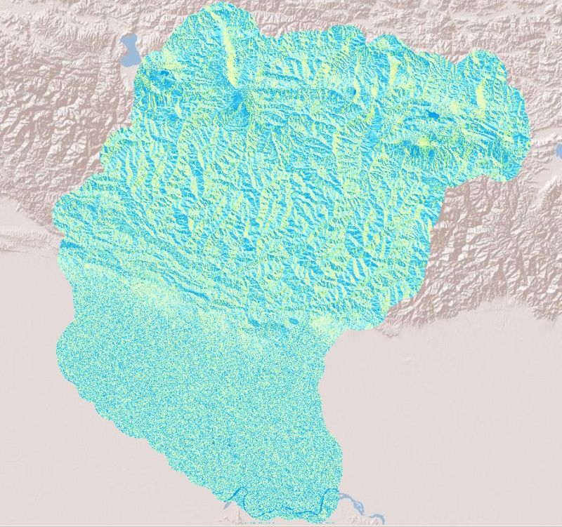
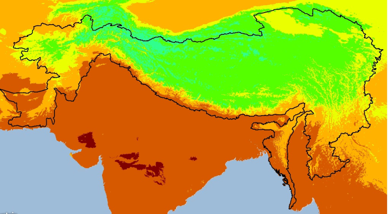
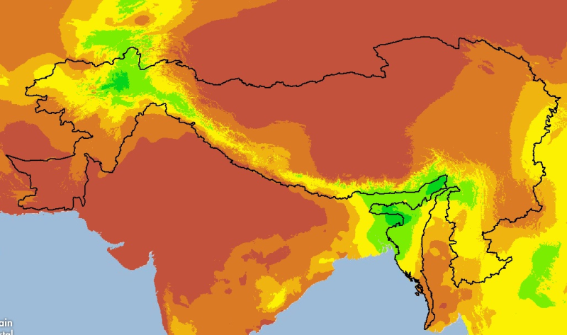
Digital grid dataset of monthly maximum temperature (April) for the period of 1950-2000 of Hindu Kush Himalayan (HKH) Region. The dataset is derived from WorldClim (http://www.worldclim.org/), and ma..
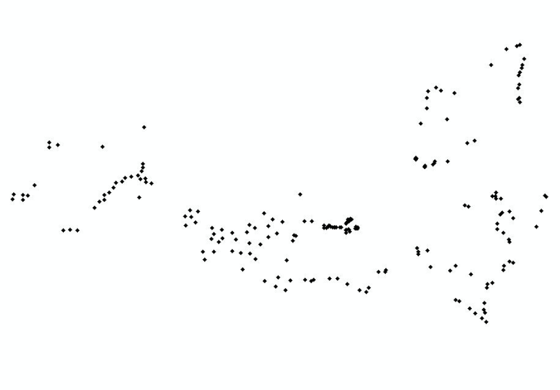
Digital grid dataset of monthly precipitation (April) for the period of 1950-2000 of Hindu Kush Himalayan (HKH) Region. The dataset is derived from WorldClim (http://www.worldclim.org/), and major cl..