This Meteorological station shows the measurement of Temperature, Relative Humidity, Wind Direction, Wind Speed, Pressure and Rainfall at Baitadi, Nepal.
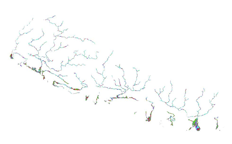
Nepal is one of the most flood prone country and the flood hazard layer represents modelled hazard representations along major rivers of Nepal. The project with external funding was implemented by DW..
Annual Mean Precipitation data for Laguwa Ghat station, Koshi Basin, Nepal. This dataset is based on average daily precipitation reading which is accumulated for total precipitation of the month and ..
The dataset shows a layer of rock glaciers mapped comprehensively by a second person, using the polygon tool in Google Earth. Therefore, 4000 randomly distributed sample polygons have been created o..
This Meteorological station shows the measurement of Temperature, Relative Humidity, Wind Direction, Wind Speed, Pressure and Rainfall at Dhankuta, Nepal.
Resource Stress Index (RSI) is defined as the water resource availability in the basin to meet the pressure of the water demand of growing population taking account of environmental changes. The par..