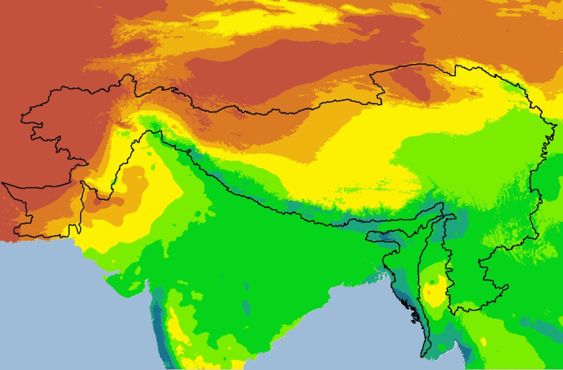
Digital grid dataset of monthly precipitation (July) for the period of 1950-2000 of Hindu Kush Himalayan (HKH) Region. The dataset is derived from WorldClim (http://www.worldclim.org/), and major cli..
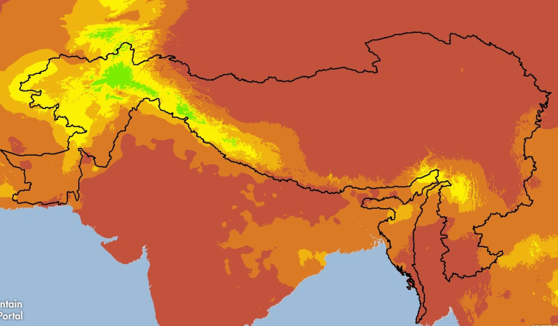
Digital grid dataset of monthly precipitation (February) for the period of 1950-2000 of Hindu Kush Himalayan (HKH) Region. The dataset is derived from WorldClim (http://www.worldclim.org/), and major..
Digital Grid dataset of Population density estimates in 2015 for HKH region. This dataset is downloaded from the Center for International Earth Science Information Network (CIESIN), Columbia Universi..
Digital polygon dataset of Average annual precipitation for Pakistan. The dataset is derived from Digital Chart of the world, DCW. The data layer is generated through interpolation of average monthly..
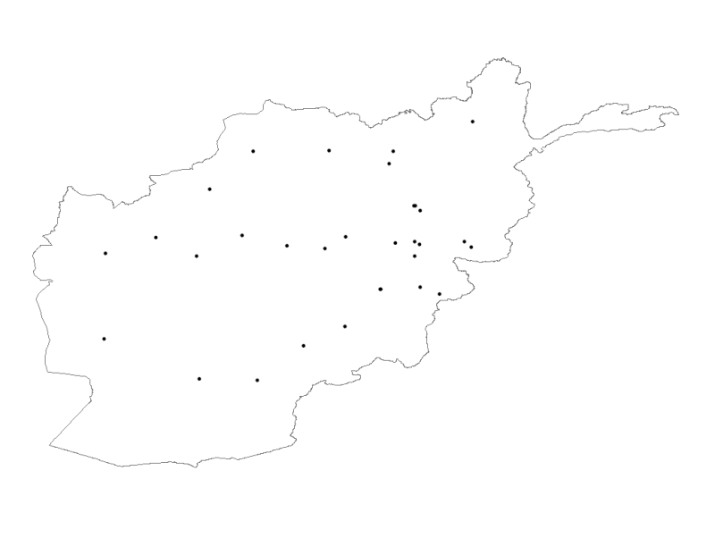
Digital point dataset of Meteorological Stations of Afghanistan. This dataset is basic Vector layer derived from Afghanistan Information Management Systems (AIMS), Afghanistan.