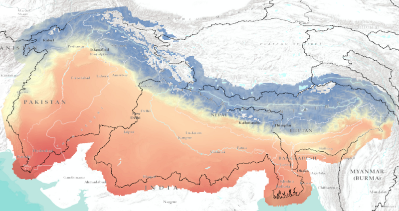
Bias-corrected future climate dataset for daily mean air temperature (Tavg), daily maximum air temperature (Tmax), daily minimum air temperature (Tmin) and daily precipitation (P). This dataset has a..
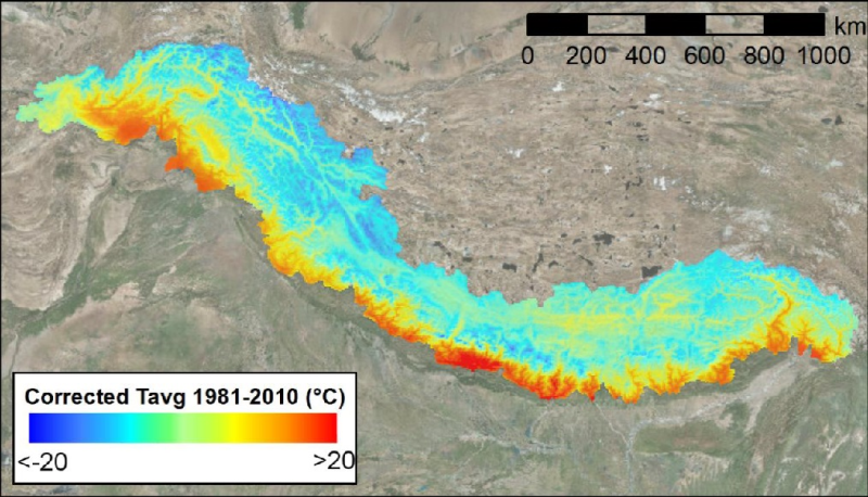
Bias-corrected reference climate dataset for daily mean air temperature (Tavg), daily maximum air temperature (Tmax), daily minimum air temperature (Tmin) and daily precipitation (P). This dataset ha..
Resilient Mountain Solution (RMS) and RMS Poverty and Vulnerability Assessment (PVA) is a ward level household survey to have get a deeper understanding of Dadeldhura site. The survey was a part of t..