Regional Database System
Home
About
FAQs
Login
Regional Database System
Advanced Search
Metadata
Title:
Abstract:
Keyword:
Extent
East:
West:
North:
South:
Datasets
Filters
Keywords
Nepal
(508)
Geoscientific information
(345)
Climatology, meteorology, atmosphere
(297)
icimod-servir
(187)
servircat
(186)
Precipitation
(138)
Pakistan
(115)
Hindu Kush Himalayan Region
(109)
India
(108)
geo-biodiversity
(102)
Bhutan
(97)
Biodiversity
(96)
Afghanistan
(94)
Climate
(91)
Temperature
(88)
1206 Record(s) found
Sewerage line of Lalitpur Municipality
Sewerage line(polyline) dataset of Lalitpur Municipality for the Geo-visualization on emergency response in case of earthquake disaster.
Telephone cabinet of Kathmandu Metropolitian City
Telephone cabinet(point) dataset of Kathmandu Metropolitian City for the Geo-visualization on emergency response in case of earthquake disaster.
Bridges of Bhaktapur Municipality
Bridges(polyline) dataset of Bhaktapur Municipality for the Geo-visualization on emergency response in case of earthquake disaster.
Monthly Mean Temperature Trend (October) 1950-2000 of Hindu Kush Himalayan (HKH) Region
Digital grid dataset of monthly mean temperature (October) for the period of 1950-2000 of Hindu Kush Himalayan (HKH) Region. The dataset is derived from WorldClim (http://www.worldclim.org/), and maj..
Courtyard of Lalitpur Municipality
Courtyard (polygon) dataset of Lalitpur Municipality for the Geo-visualization on emergency response in case of earthquake disaster.
Place name of Thimi Municipality
Bridge(polyline) dataset of Thimi Municipality for the Geo-visualization on emergency response in case of earthquake disaster.
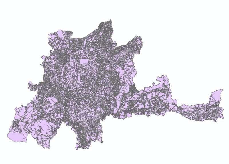
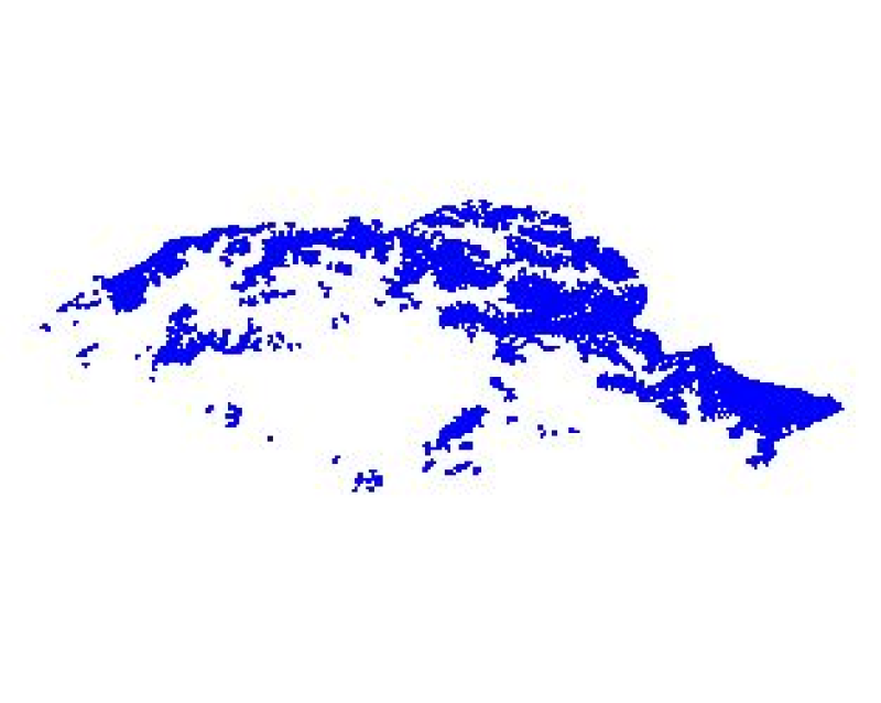
Landuse of Kathmandu Metropolitian City
Landuse(polygon) dataset of Kathmandu Metropolitian City for the Geo-visualization on emergency response in case of earthquake disaster.
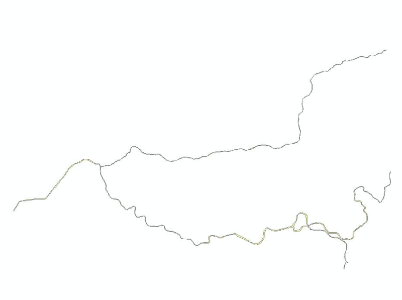
River of Bhaktapur Municipality
River(polygon) dataset of Bhaktapur Municipality for the Geo-visualization on emergency response in case of earthquake disaster.
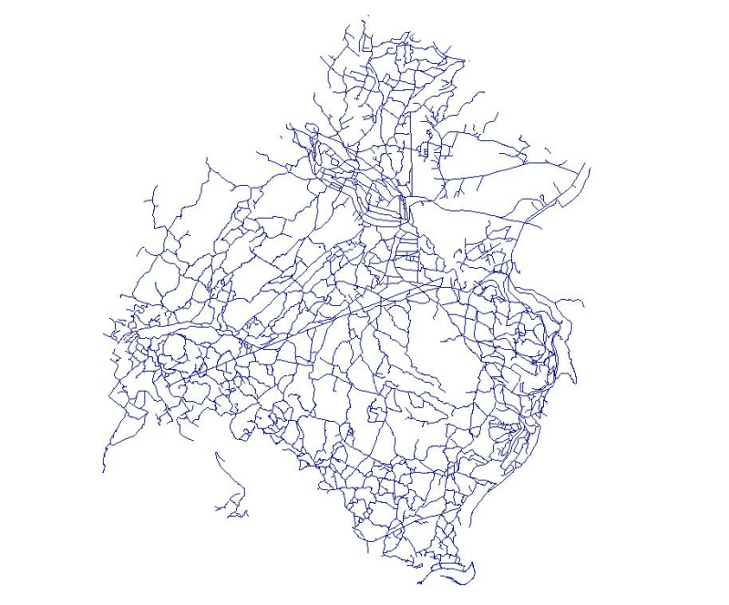
Transportation road of Kritipur Municipality
Transportation road(polyline) dataset of Kritipur Municipality for the Geo-visualization on emergency response in case of earthquake disaster.
Snow Cover Area of Pakistan
Digital polygon dataset of Snow Cover Area of Pakistan. This dataset is Basic grid layer derived from ESRI Map & Data 2001.
First
Previous
76
77
78
79
80
81
82
83
84
Next
Last