Digital grid dataset of monthly maximum temperature (November) for the period of 1950-2000 of Hindu Kush Himalayan (HKH) Region. The dataset is derived from WorldClim (http://www.worldclim.org/), and..
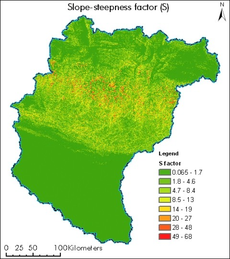
Digital grid dataset of Slope Steepness factor (S) of Koshi basin. It represents the effect of slope steepness on erosion. Soil loss increases more rapidly with slope steepness than it does with slop..