Digital grid dataset of monthly precipitation (June) for the period of 1950-2000 of Hindu Kush Himalayan (HKH) Region. The dataset is derived from WorldClim (http://www.worldclim.org/), and major cli..
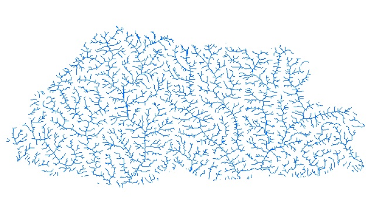
Digital line dataset of River Network of the Bhutan. This dataset is extracted using the SRTM DEM. The dataset is refined using LandSat images of 30m resolution and available higher resolution satell..
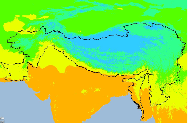
Digital grid dataset of minimum monthly temperature (April) for the period of 1950-2000 of Hindu Kush Himalayan (HKH) Region. The dataset is derived from WorldClim (http://www.worldclim.org/), and ma..
Digital grid dataset of monthly mean temperature (August) for the period of 1950-2000 of Hindu Kush Himalayan (HKH) Region. The dataset is derived from WorldClim (http://www.worldclim.org/), and majo..
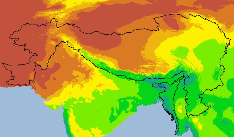
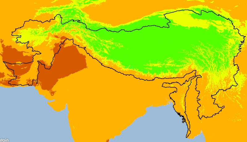
Digital grid dataset of monthly mean temperature (March) for the period of 1950-2000 of Hindu Kush Himalayan (HKH) Region. The dataset is derived from WorldClim (http://www.worldclim.org/), and major..