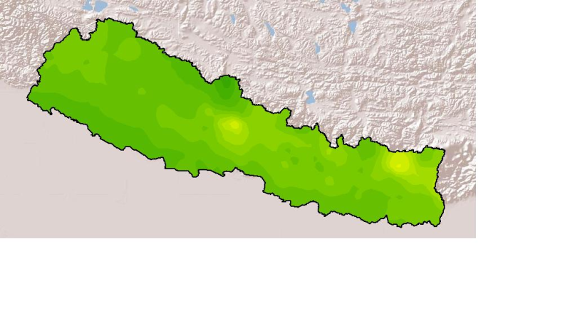
Monthly mean precipitation of April 2001 of Nepal. This dataset is created using actual averages precipitation using Win-surfer and GIS-arc/info software packages. The mean values were derived from d..
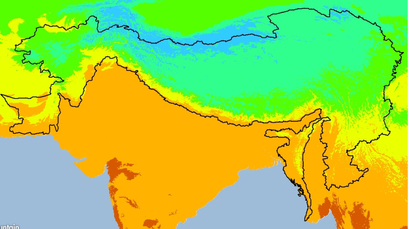
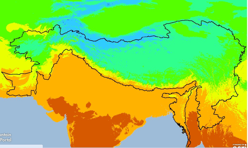
Digital grid dataset of monthly maximum temperature (December) for the period of 1950-2000 of Hindu Kush Himalayan (HKH) Region. The dataset is derived from WorldClim (http://www.worldclim.org/), and..
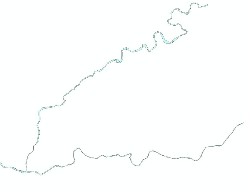
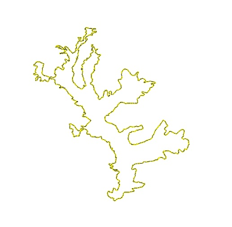
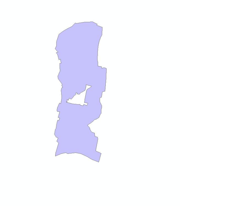
Digital polygon dataset of Black Neck Crane Habitat locations of Phobjikha Valley, Bhutan. This dataset is based on topographic sheet maps at scale of 50000 and prepared by ICIMOD.
Digital grid dataset of monthly maximum temperature (February) for the period of 1950-2000 of Hindu Kush Himalayan (HKH) Region. The dataset is derived from WorldClim (http://www.worldclim.org/), and..