Glaciers are one of the essential climate variables (ECV) to better understand the climate system. The regular monitoring of the glacier mass balance gives information about the water stored and rele..
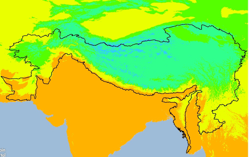
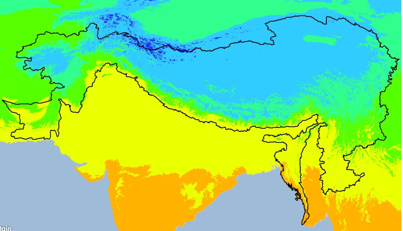
Digital grid dataset of minimum monthly temperature (May) for the period of 1950-2000 of Hindu Kush Himalayan (HKH) Region. The dataset is derived from WorldClim (http://www.worldclim.org/), and majo..
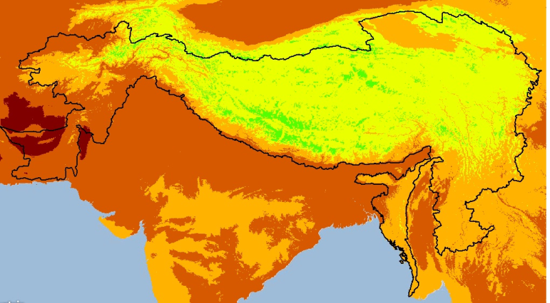
Digital grid dataset of monthly maximum temperature (August) for the period of 1950-2000 of Hindu Kush Himalayan (HKH) Region. The dataset is derived from WorldClim (http://www.worldclim.org/), and m..
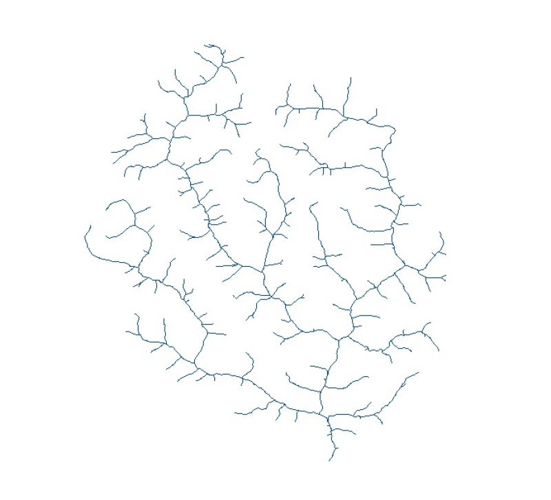
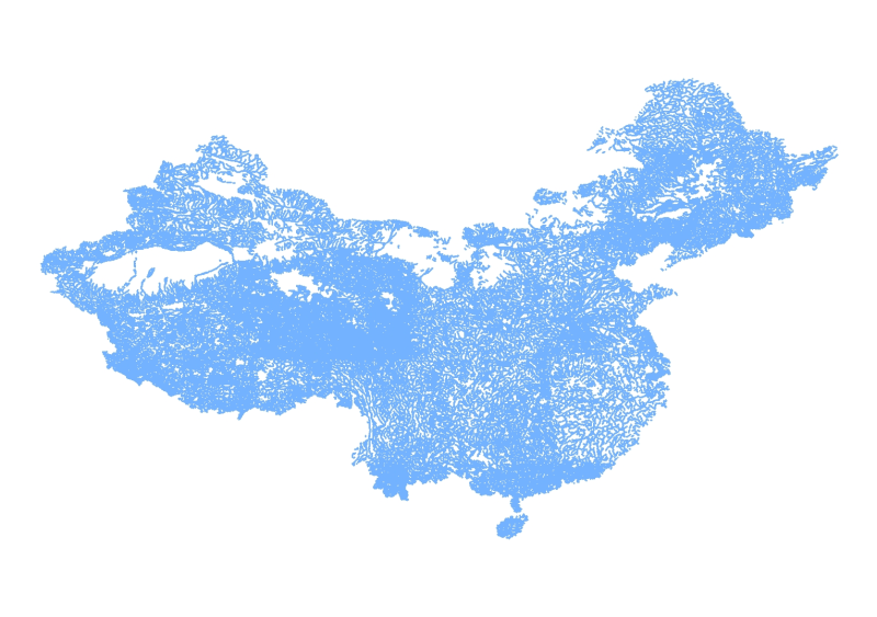
Digital line dataset of Drainage Network of Wangchu, Bhutan. This dataset is created using topographic sheet maps at scale of 50000 and prepared by ICIMOD.
Digital grid dataset of monthly mean temperature (January) for the period of 1950-2000 of Hindu Kush Himalayan (HKH) Region. The dataset is derived from WorldClim (http://www.worldclim.org/), and maj..
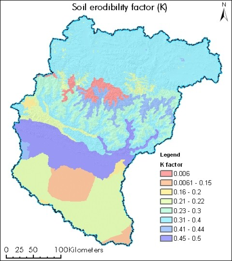
Digital polygon dataset of soil erosivity on Koshi Basin. The dataset is created using Soil maps of Nepal, India and FAO and represents the average long term soil response to the erosive power assoc..
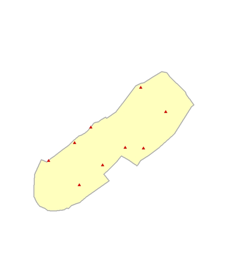
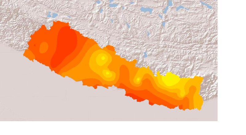
Daily mean sunshine duration of October 2001 of Nepal. This dataset is created using actual daily sunshine averages using Win-surfer and GIS-arc/info software packages. The mean values were derived f..