Digital point dataset of Helipad in Central Karakoram National Park(CKNP) area, Pakistan. This dataset is compiled through GPS based field survey conducted in year 2008.
Digital point dataset of Health facility of Central Karakoram National Park(CKNP) area, Pakistan. This dataset is compiled through GPS based field survey conducted in year 2008.
Digital point dataset of Graveyards of Central Karakoram National Park(CKNP)area, Pakistan. This dataset is compiled through GPS based field survey conducted in year 2008.
Digital point dataset of Government Institution of Central Karakoram National Park (CKNP) area, Pakistan. This dataset is compiled through GPS based field survey conducted in year 2008.
Digital point dataset of Check post location of Central Karakoram National Park(CKNP) area, Pakistan. This dataset is compiled through GPS based field survey conducted in year 2008.
Digital dataset of Land Cover change between 1990 and 2000 of Central Karakoram National Park (CKNP) area, Pakistan. This dataset is derived from the LandSat satellite imagery of 1990 and 2000 to sho..
Digital dataset of Land Cover change between 1990 and 2010 of Central Karakoram National Park (CKNP) area, Pakistan. This dataset is derived from the LandSat satellite imagery of 1990 and 2010 to sh..
Digital dataset of Land Cover change between 2000 and 2010 of Central Karakoram National Park (CKNP) area, Pakistan. This dataset is derived from the LandSat satellite imagery of 2000 and 2010 to sho..
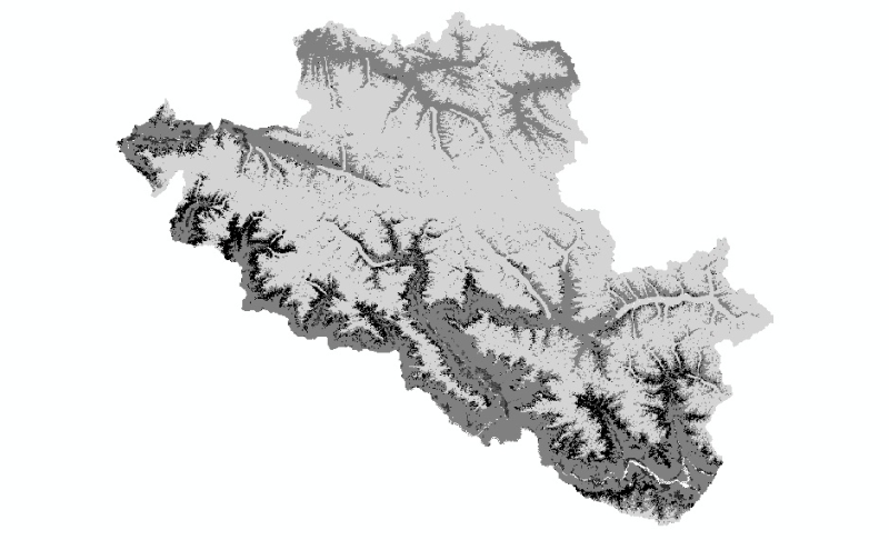
Digital dataset of Land Cover in 2010 of Central Karakoram National Park (CKNP) area, Pakistan. This dataset is extracted from LandSat satellite imagery of 2010 with spatial resolution of 30 m and sp..
Digital dataset of Land Cover in 2000 of Central Karakoram National Park(CKNP) area, Pakistan. This dataset is extracted from LandSat satellite imagery of 2000 with spatial resolution of 30 m and spe..