Large landslide dams are one of the most disastrous natural phenomena in mountainous regions all over the world Such dams are formed most commonly in tectonically active settings where high mountains..
Large landslide dams are one of the most disastrous natural phenomena in mountainous regions all over the world Such dams are formed most commonly in tectonically active settings where high mountains..
Large landslide dams are one of the most disastrous natural phenomena in mountainous regions all over the world Such dams are formed most commonly in tectonically active settings where high mountains..
Large landslide dams are one of the most disastrous natural phenomena in mountainous regions all over the world Such dams are formed most commonly in tectonically active settings where high mountains..
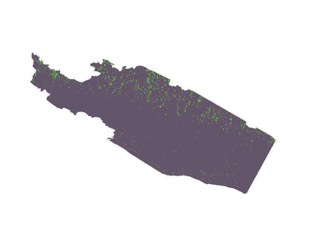
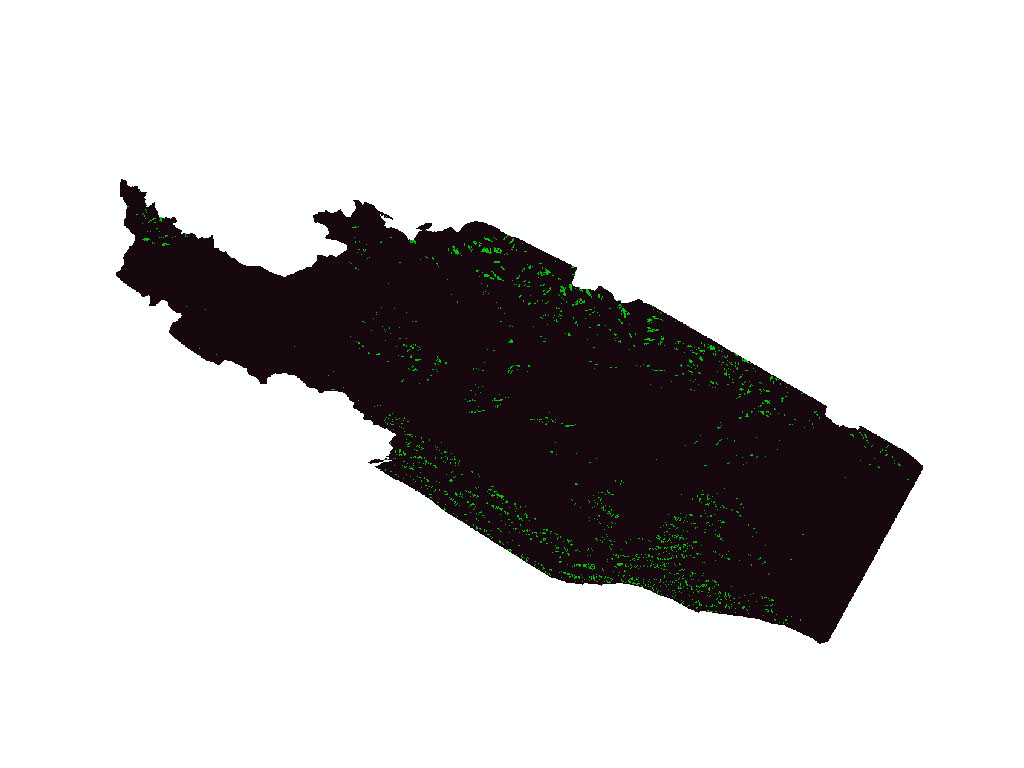
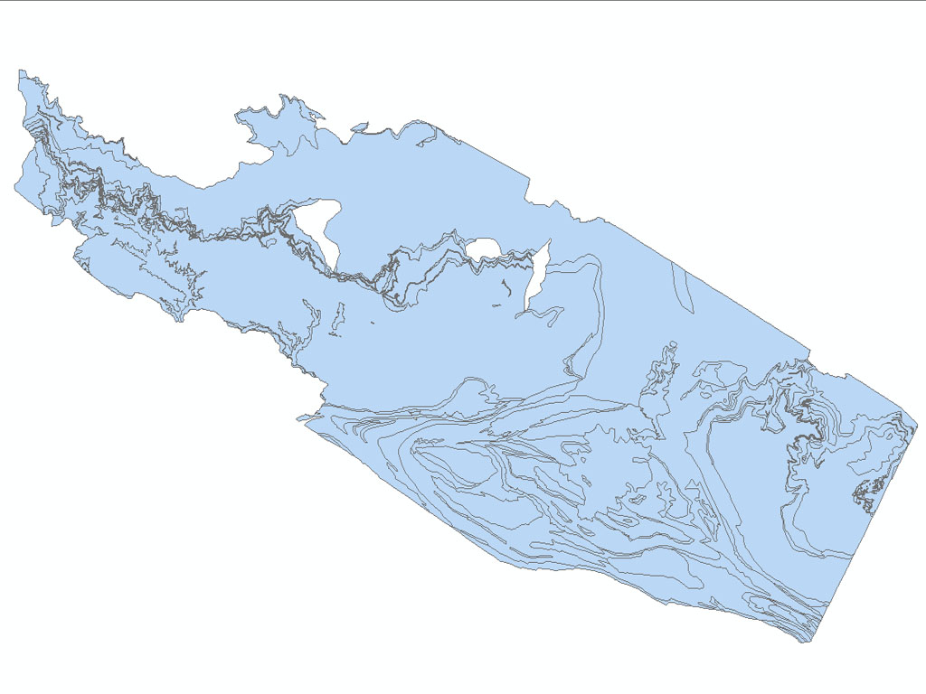
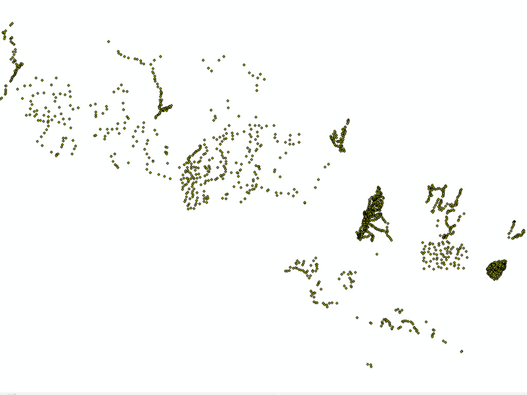
Earthquake-induced landslide hazard mapping is based on investigations in the Bahrabise–Liping area of the Sindhupalchok District. The information was gathered from existing maps, past published and ..
Large landslide dams are one of the most disastrous natural phenomena in mountainous regions all over the world Such dams are formed most commonly in tectonically active settings where high mountains..