Digital grid dataset of monthly mean temperature (February) for the period of 1950-2000 of Hindu Kush Himalayan (HKH) Region. The dataset is derived from WorldClim (http://www.worldclim.org/), and ma..
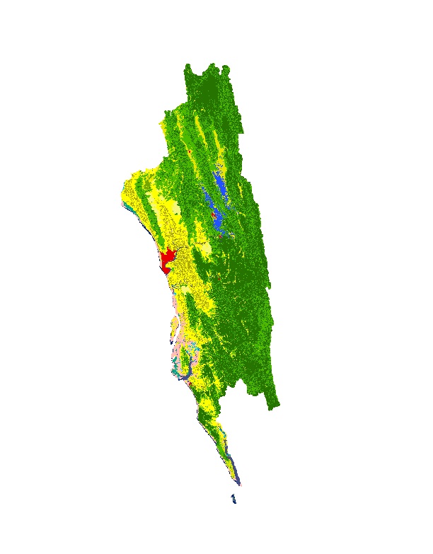
Land cover data of Greater Chittagong, Bangladesh for 2010. This dataset is created using the LandSat 30 meter spatial resolution satellite image of 2010.
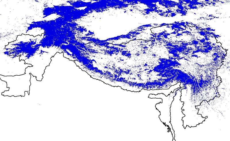
Digital polygon dataset of snow cover area of Hindu Kush Himalayan (HKH) Region. This dataset is generated from 8-day composite 500 m resolution Terra satellite image from MODIS and using global stan..
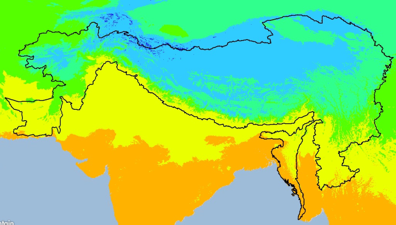
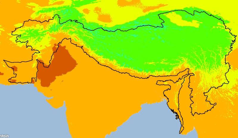
Digital grid dataset of monthly mean temperature (September) for the period of 1950-2000 of Hindu Kush Himalayan (HKH) Region. The dataset is derived from WorldClim (http://www.worldclim.org/), and m..
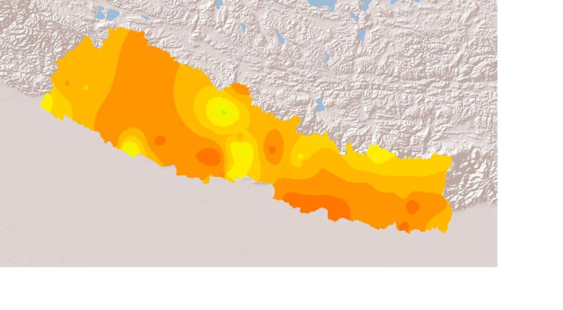
Daily mean sunshine duration of January 2001 of Nepal. This dataset is created using actual daily sunshine averages using Win-surfer and GIS-arc/info software packages. The mean values were derived f..