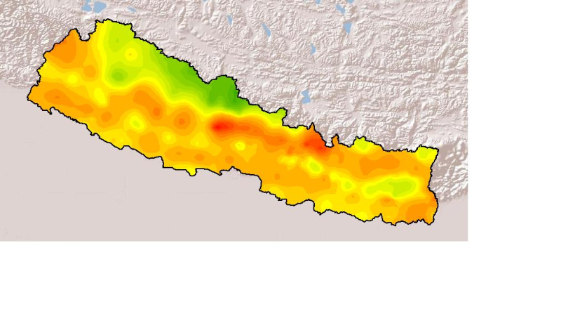
Monthly mean precipitation of July 2001 of Nepal. This dataset is created using actual averages precipitation using Win-surfer and GIS-arc/info software packages. The mean values were derived from da..
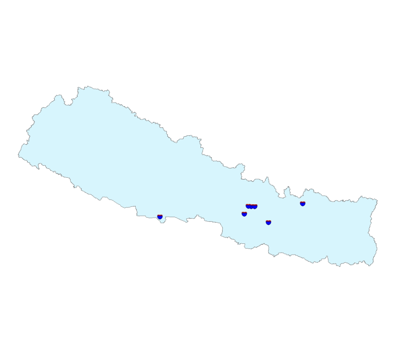
Digital point data of World Heritage Site locations of Nepal. This dataset is created using location information stated in Nepal Biodiversity Resource Book published by ICIMOD in 2007 and Topographic..
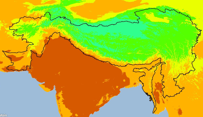
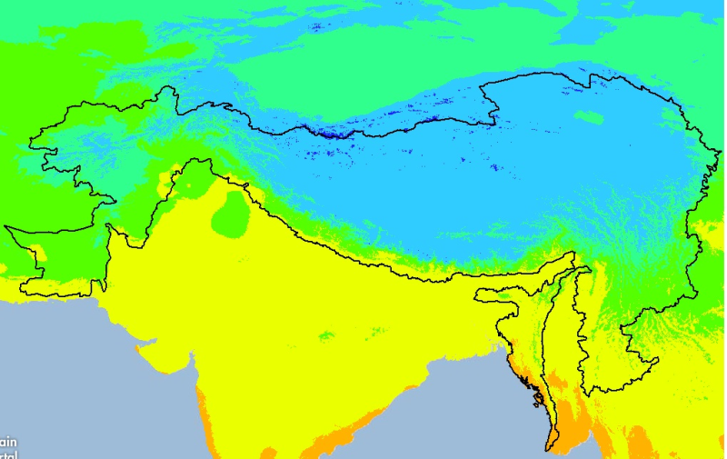
Digital grid dataset of monthly mean temperature (May) for the period of 1950-2000 of Hindu Kush Himalayan (HKH) Region. The dataset is derived from WorldClim (http://www.worldclim.org/), and major c..
Monthly mean precipitation of August 2001 of Nepal. This dataset is created using actual averages precipitation using Win-surfer and GIS-arc/info software packages. The mean values were derived from ..
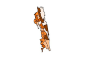
Digital polygon dataset of Population Distribution per District of Chittagong Hill Tracts of Bangladesh. This dataset is basic vector layer based on LGED Administrative Base Map and Bangladesh Bureau..
Digital grid dataset of minimum monthly temperature (November) for the period of 1950-2000 of Hindu Kush Himalayan (HKH) Region. The dataset is derived from WorldClim (http://www.worldclim.org/), and..
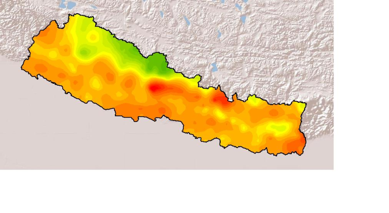
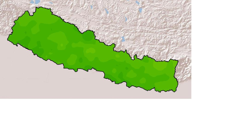
Monthly mean precipitation of November 2001 of Nepal. This dataset is created using actual averages precipitation using Win-surfer and GIS-arc/info software packages. The mean values were derived fro..