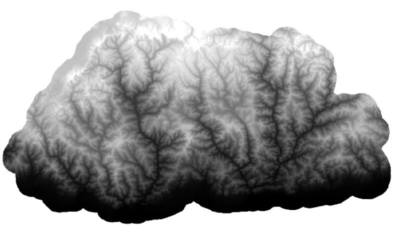
Digital Elevation Model (DEM) of Bhutan. This dataset is created using ASTER image with 30 m spatial resolution. The data was prepared for the analysis of attitudinal Variation and Land Cover Classes.
Digital Elevation Model (DEM) of Charnawati River Watershed, Dolakha, Nepal. This dataset is created using Topographic sheet data at scale of 25,000/50,000, of 1995 acquired from National Geographic ..
Digital grid data of Digital Elevation Model, DEM of Koshi Tappu Reserve, Nepal. This dataset is created using Topographic sheet data at scale of 25,000/50,000, of 1995 acquired from National Geograp..
Digital Elevation Model of Kayar Khola Watershed, Chitwan, Nepal. This dataset is created using Topographic sheet data at scale of 25,000/50,000, of 1995 acquired from National Geographic Information..
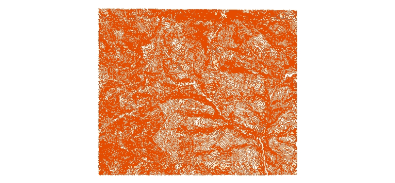
Digital line dataset of Elevation Contours of Dang and Salyan district, Nepal. This dataset is created using Topographic sheet data at scale of 50,000, of 1995 acquired from Department of Survey, Kat..
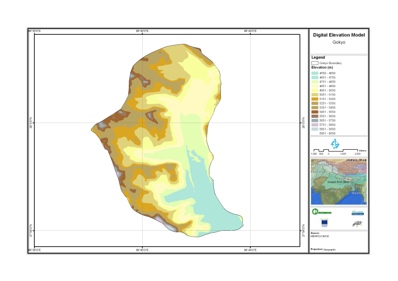
Digital Elevation Model of Gyoko, Nepal is based on Topographic map scale 1:25,000/50,000 acquired from National Geographic Information Infrastructure Project (NGIIP), Dept. of Survey Kathmandu Nepal.
Digital Elevation Model of Ludhi khola Watershed, Gorkha, Nepal. This dataset is created using Topographic sheet data at scale of 25,000/50,000, of 1995 acquired from National Geographic Information ..
Digital line dataset of Elevation Contours of Charnawati River Watershed, Dolakha, Nepal. This dataset is created using Topographic sheet data at scale of 25,000/50,000, of 1995 acquired from Nationa..
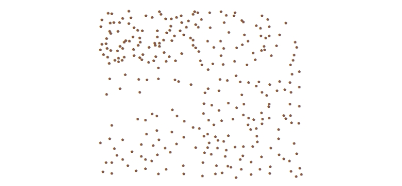
Digital point data of Spot height locations of Kayar Khola Watershed, Chitwan, Nepal. This dataset is created using Topographic sheet data at scale of 25,000/50,000, of 1995 acquired from National Ge..
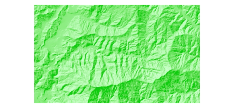
Digital grid data of Hill-shade of Ludhi khola Watershed, Gorkha, Nepal. This dataset is created using
Topographic sheet data at scale of 25,000/50,000, of 1995 acquired from National Geographic Info..