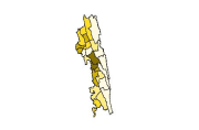
Digital polygon dataset of Population by Sex of Chittagong Hill Tracts of Bangladesh. This dataset is basic vector layer based on LGED Administrative Base Map and Bangladesh Bureau of Statistics (BBS..
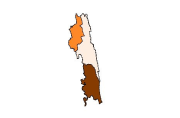
Digital polygon data of Geographic regions of Nepal. This dataset is created using Topographic Zonal Map of 250000 scale published by Department of Survey Nepal in 1988 and is in geographic coordinat..
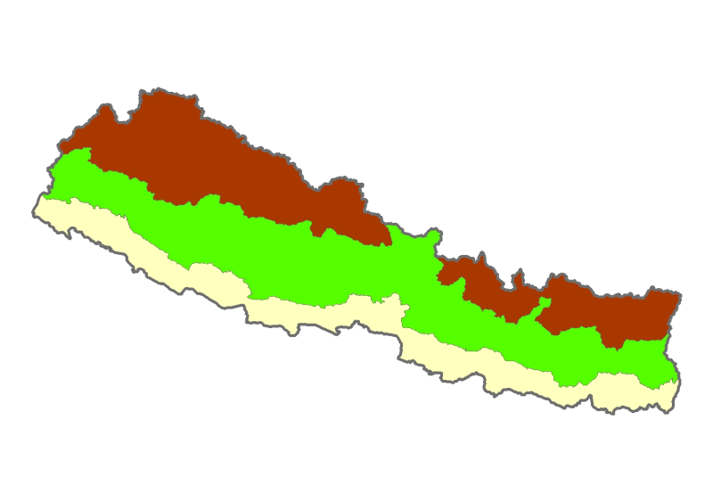
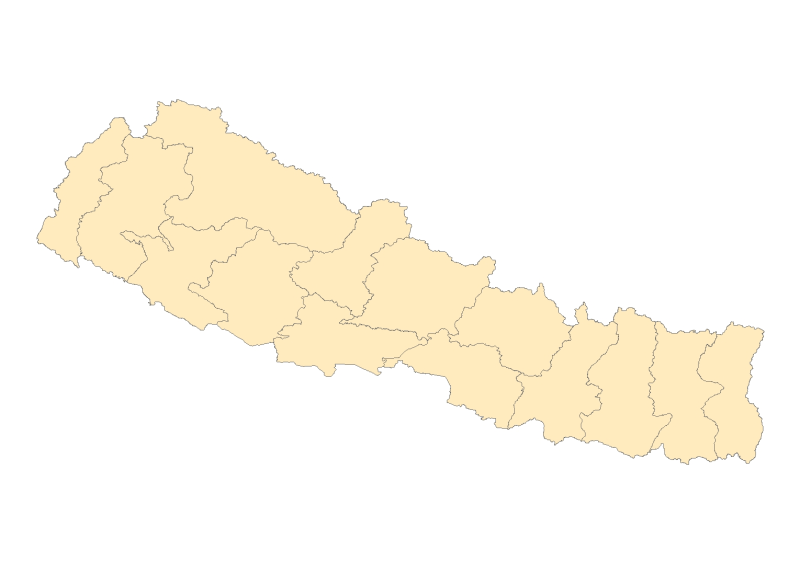
Digital polygon data of Administrative zones of Nepal. This dataset is created using Topographic Zonal Map of 250000 scale published by Department of Survey Nepal in 1988 and is in geographic coordin..
Digital polygon dataset of Economic Condition per District of Chittagong Hill Tracts of Bangladesh. This dataset is basic vector layer based on LGED Administrative Base Map and Bangladesh Bureau of S..
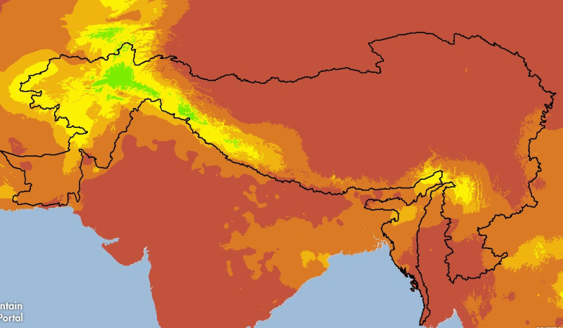
Digital grid dataset of monthly precipitation (February) for the period of 1950-2000 of Hindu Kush Himalayan (HKH) Region. The dataset is derived from WorldClim (http://www.worldclim.org/), and major..
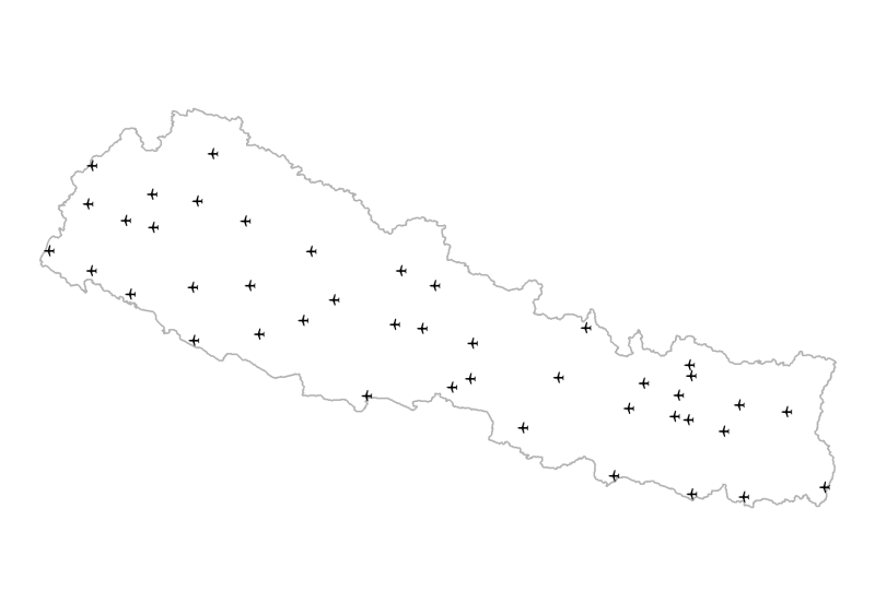
Digital point data of Airport locations of Nepal. This dataset is created using Topographic Zonal Map of 250000 scale published by Department of Survey Nepal in 1988 and is in geographic coordinates.