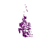
Digital point dataset of Settlements of Phobjikha valley, Bhutan. This dataset is created using topographic sheet maps at scale of 50000 and prepared by ICIMOD.
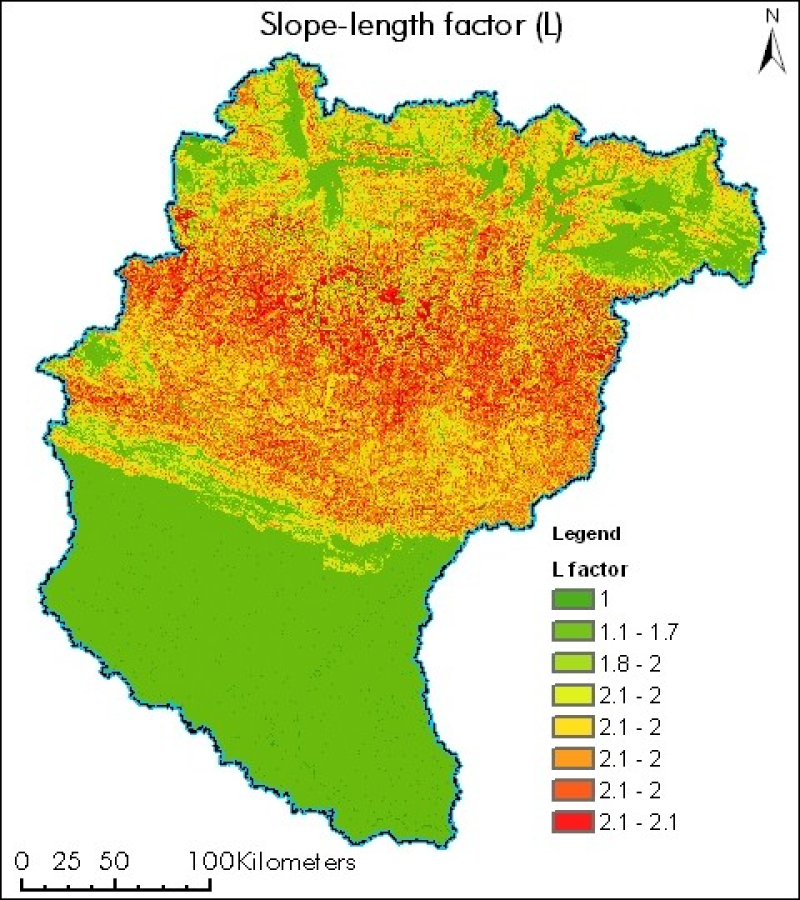
Digital grid dataset of Slope length factor (S) of Koshi basin. It represents the slope length factor and the effect of slope length on erosion of Koshi basin. Slope length factor is derived from SRT..
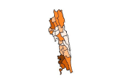
Digital point dataset of Tehsil Headquarter of Central Karakoram National Park (CKNP) area, Pakistan. This dataset is created using topographic sheet maps at scale of 20000.
Digital point dataset of Location of Infrastructures of Rangamati of Bangladesh. This dataset is basic vector layer based on LGED Administrative Base Map of Bangladesh.
Digital polygon data of Soils of Nepal. This dataset is created using soil data provided by in Soil Science Division, Department of Agriculture and Topographic Zonal Map of 250000 scales published by..
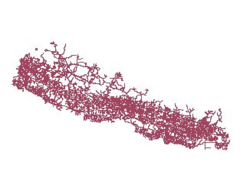
Digital polyline data of Road Network of Nepal. This dataset is created using Topographic Zonal Map of 250000 scale published by Department of Survey Nepal in 1988 and is in geographic coordinates.
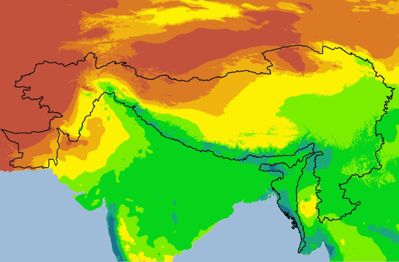
Digital grid dataset of monthly precipitation (July) for the period of 1950-2000 of Hindu Kush Himalayan (HKH) Region. The dataset is derived from WorldClim (http://www.worldclim.org/), and major cli..
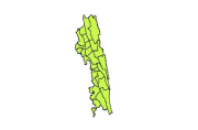
Digital polygon dataset of Tribal Population Distribution per District of Chittagong Hill Tracts of Bangladesh. This dataset is basic vector layer based on LGED Administrative Base Map and Bangladesh..
Digital polygon dataset of Agriculture Production per Sub-District of Chittagong Hill Tracts of Bangladesh. This dataset is basic vector layer prepared based on LGED Administrative Base Map and Bangl..