'%3e%3cg%3e%3cpath%20fill='%23036cb6'%20d='M0%200h134v33H0z'/%3e%3c/g%3e%3c/g%3e%3c/g%3e%3c/g%3e%3c/g%3e%3c/svg%3e)
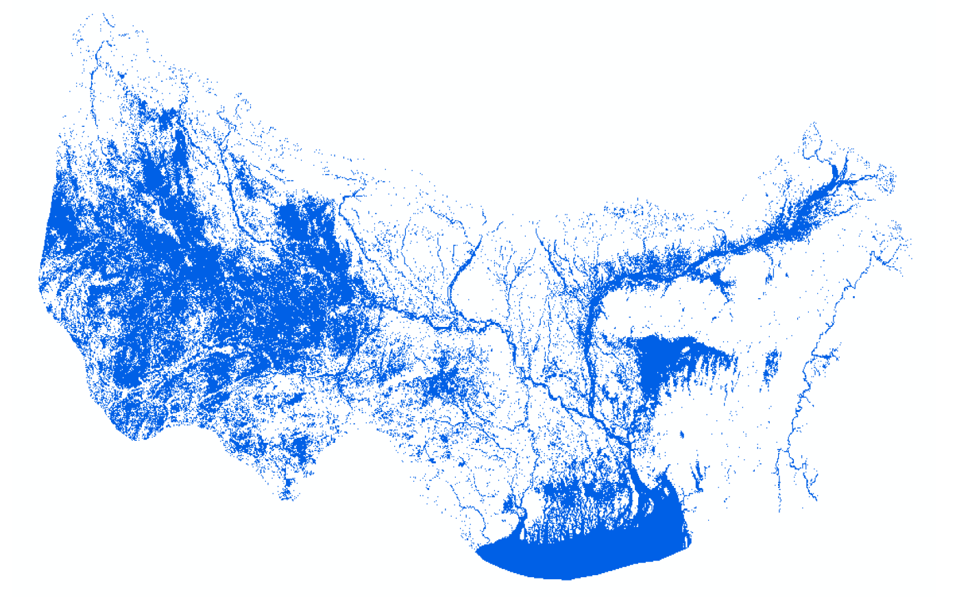
HydroSAR Hydro30 Surface Water Extent Product of flood-prone regions in the Hindu Kush Himalaya (HKH)
Published date: 2022-08-29
Description
HydroSAR Hydro30 Surface Water Extent Product provides Radiometric Terrain Corrected (RTC) surface water extent over flood-prone regions in the Hindu Kush Himalaya (HKH) for the 2022 monsoon season. The data are generated from Sentinel-1 SAR imagery processed by ASF DAAC HyP3 using the hyp3_gamma plugin version 5.1.7 running GAMMA release 20210701.
Access & Use Constraints
Free to use with attribution. Suggested credit statement: HydroSAR Hydro30 water extent product processed by ASF DAAC HyP3 2022 using the hyp3_gamma plugin version 5.1.7 running GAMMA release 20210701. Contains modified Copernicus Sentinel data 2022, processed by ESA.