'%3e%3cg%3e%3cpath%20fill='%23036cb6'%20d='M0%200h134v33H0z'/%3e%3c/g%3e%3c/g%3e%3c/g%3e%3c/g%3e%3c/g%3e%3c/svg%3e)
Landslide data of Koshi basin (within Nepal) of 1960 developed through remote sensing approach
Published date: 2017-11-23
Description
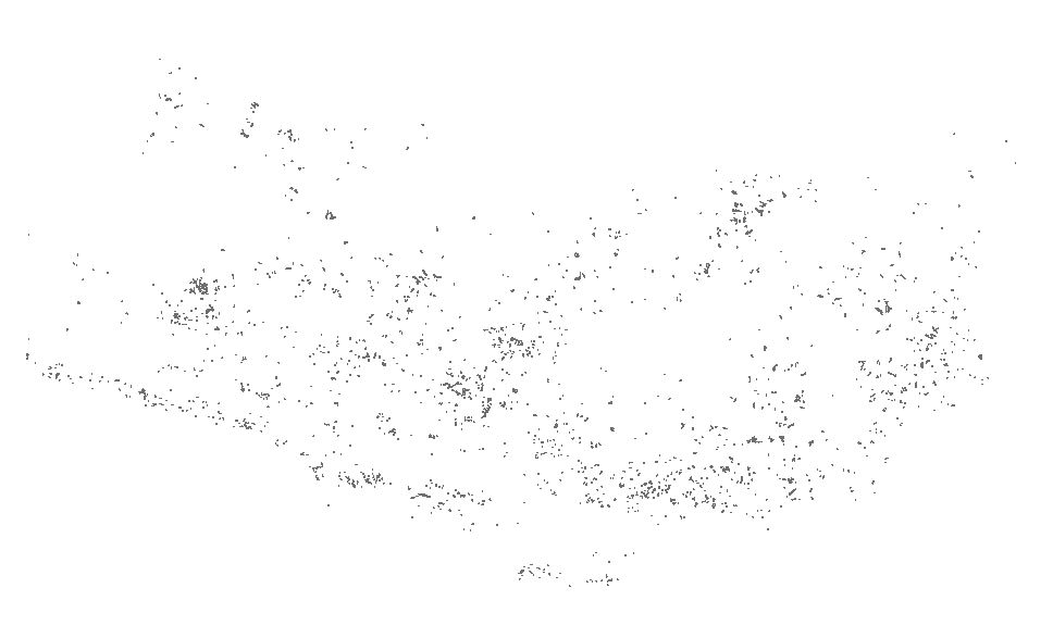
Landslide data of Koshi basin was digitized from toposheet maps published in 1960s.
Access & Use Constraints
Creative Commons Attribution 4.0 International (CC BY 4.0)
Suggested Citation
ICIMOD. (2017). Landslide data of Koshi basin (within Nepal) of 1960 developed through remote sensing approach [Data set]. ICIMOD. https://doi.org/10.26066/RDS.34424